What is recorded here
On a rise in improved pasture c. 25m S of a small stream. Shown on the OS 25-inch map as a rectangular area (est. int. L c. 24m NW-SE; c. 20m NE-SW) enclosed by a broad bank (est. Wth c. 15m). No visible surface trace survived in 1972, the area then having been recently bulldozed (SMR file). It was possibly a moated site?
Compiled by: Gearóid Conroy
Date of upload: 16 October 2013
The monument record does not grant public access. Check the route and ask the landowner before entering private land.
- What survives
- Recorded monument
Places near here
 Castle (in Ruins)House, fortified house · 1569 yd
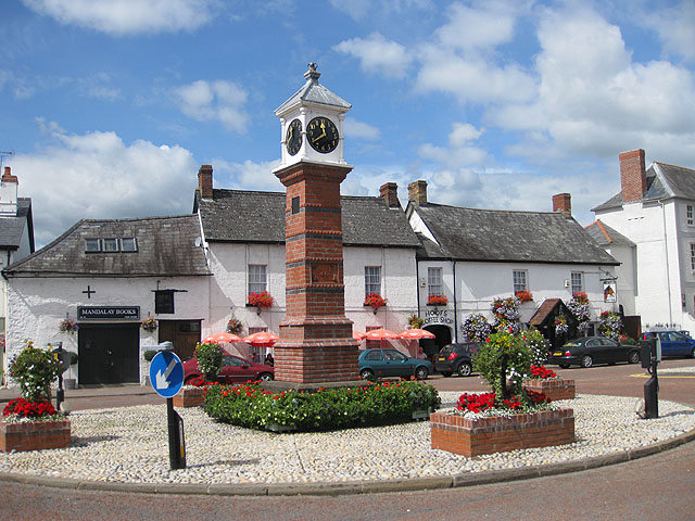 IndicatedFairy fort / earthen ringfort · 1705 yd
 Church in Brewel WestChurch · 1.0 mi
 Enclosure in Brewel East OR MervilleEnclosure · 1.2 mi
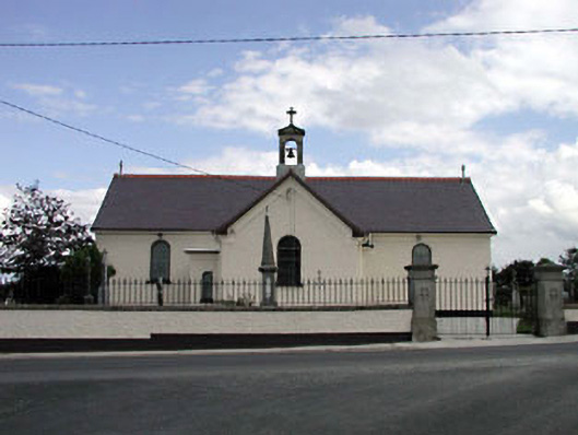 Saint Joseph's Catholic Churchchurch/chapel · 1.3 mi
 CastleCastle, unclassified · 1.5 mi
 Memorial to 1798 rebellionMonument · 1.7 mi
 HawthornHawthorn · 1.9 mi
 Site of Fair GreenForest · 2.2 mi
 1798 memorial stoneMonument · 4.3 mi
 Burial ground in CrehelpBurial ground · 4.3 mi
 Battle of Kilrushbattle · 5.4 mi