What is recorded here
In coniferous plantation on a SE-facing slope of poorly drained rising ground in upland region with good views to SE. Enclosure (TS055-039----) 300m to SE. Unable to get access to moated site because it is located inside mature coniferous plantation and no access road was kept open into the monument. Depicted as a square-shaped enclosure on 1840 ed. OS 6-inch map described by Barry (1977, 201) as a moated site which was bulldozed some time after 1903.
Compiled by: Jean Farrelly
Date of upload: 26 August 2011
The monument record does not grant public access. Check the route and ask the landowner before entering private land.
- What survives
- Recorded monument
Places near here
 Standing stone in Crohane LowerStanding stone · 924 yd
 ToberoneHoly well · 1285 yd
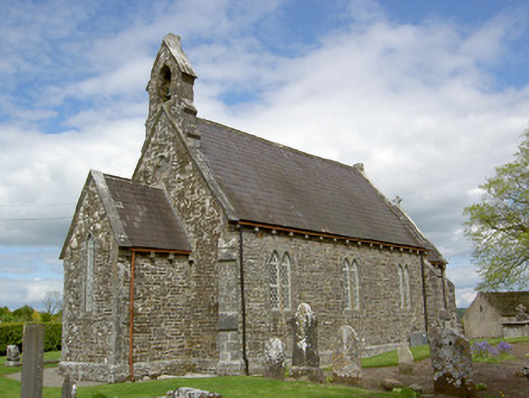 Crohane Churchchurch/chapel · 1349 yd
 CastleCastle, motte · 1510 yd
 Crohane CastleCastle · 1.1 mi
 RoadRoad, hollow-way · 1.2 mi
 Eagle HillMountain / peak · 2.2 mi
 Waterloo HillMountain / peak · 2.9 mi
 Slieveardagh Heritage CentreVisitor information · 3.0 mi
 Top Field at Carey'sForest · 4.6 mi
 Second Field on the HillForest · 4.7 mi
 Derrynaflan TrailHeritage attraction · 5.1 mi