What is recorded here
Situated on slight rise in a low-lying undulating landscape. It is not depicted on any OS map but was described in 1970 as a raised rectangular area (dims 41m ENE-WSW; 37m NNW-SSE) defined by moats on each side, except the WSW (SMR file). There was a large rectangular structure defined by low earthen banks with no visible entrance in the SW angle. Outside the moats at NNW and SSW were outer banks. It had been removed by 1995 (OSAP).
The above description is derived from the published 'Archaeological Inventory of County Meath' (Dublin: Stationery Office, 1987). In certain instances the entries have been revised and updated in the light of recent research.
Compiled by: Michael Moore
Date of revision: 9 January 2019
The monument record does not grant public access. Check the route and ask the landowner before entering private land.
- What survives
- Recorded monument
Places near here
 Enclosure in Rathbrack (fore By., Moylagh Par.)Enclosure · 845 yd
 Kells HillMountain / peak · 911 yd
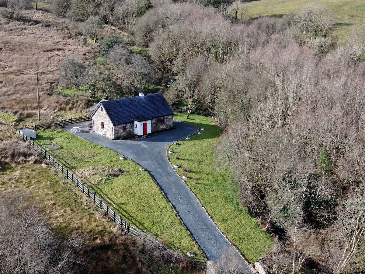 Enclosure in LurganboyEnclosure · 1207 yd
 Keeper's CottageRuins · 1285 yd
 The Keeper's FieldForest · 1451 yd
 Slieve GullionMountain / peak · 1466 yd
 Bradley's WoodWood · 1.3 mi
 Church in DiamorChurch · 1.5 mi
 Green CastleCastle, unclassified · 1.7 mi
 Moat of DiamorCastle, motte and bailey · 2.3 mi
 Zip WireHeritage attraction · 2.9 mi
 LoughcrewMegalithic tomb cemetery · 3.3 mi