What is recorded here
In low-lying waterlogged land, c. 10m S of a small stream. When initially inspected in August 1982, this possible moated site (33m NNW-SSE; 21m NNE-SSW), in fair condition, was defined by two banks and an intervening fosse. A drain cut through it at NE. Field banks running off the outer bank at SW may have been associated. On re-inspection in 2007 no visible surface trace survived.
Compiled by: Galway Archaeological Survey, UCG
Date of upload: 6 March 2019
The monument record does not grant public access. Check the route and ask the landowner before entering private land.
- What survives
- Recorded monument
Places near here
 Uarán MórRuins · 234 yd
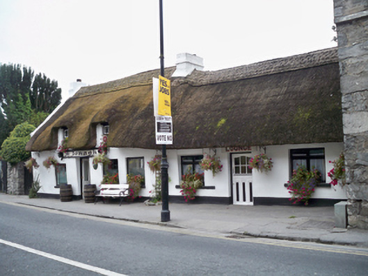 MacDonaghhouse · 485 yd
 Castle (in Ruins)Castle, tower house · 861 yd
 Enclosure in FrenchfortEnclosure · 1295 yd
 TobernanarmHoly well · 1376 yd
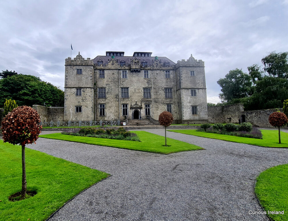 Moneyduff Castle (Site of)Castle, unclassified · 1663 yd
 North WoodWood · 2.2 mi
 South WoodWood · 2.3 mi
 Leadmine HillMountain / peak · 2.8 mi
 Rabbit IslandIslet · 3.5 mi
 Ballyloughane BeachBeach / strand · 3.9 mi
 Royal Tara Visitor CentreHeritage attraction · 4.0 mi