
What is recorded here
On a low hillock in marshland, c. 10m to the S of a stream. This poorly preserved circular enclosure (diam. 8m) is defined by a bank of earth and stone which encloses a sunken interior. A pathway cuts across the monument from NW to SE and quarrying has encroached upon it at W. The arc of a low bank (L 6m), possibly associated, lies 9m to the N. McCaffrey (1952, 129-30, no. 57a) classified the monument as a ‘Hut circle’ but it could also be a barrow.
Compiled by: Galway Archaeological Survey, UCG
Date of upload: 6 March 2019
The monument record does not grant public access. Check the route and ask the landowner before entering private land.
- What survives
- Recorded monument
Places near here
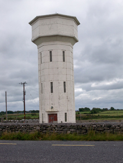 water towerwater tower · 417 yd
 ToberdonaghbaunHoly well · 755 yd
 ToberbellananimaHoly well · 1098 yd
 Uarán MórRuins · 1507 yd
 Castle (in Ruins)Castle, tower house · 1.2 mi
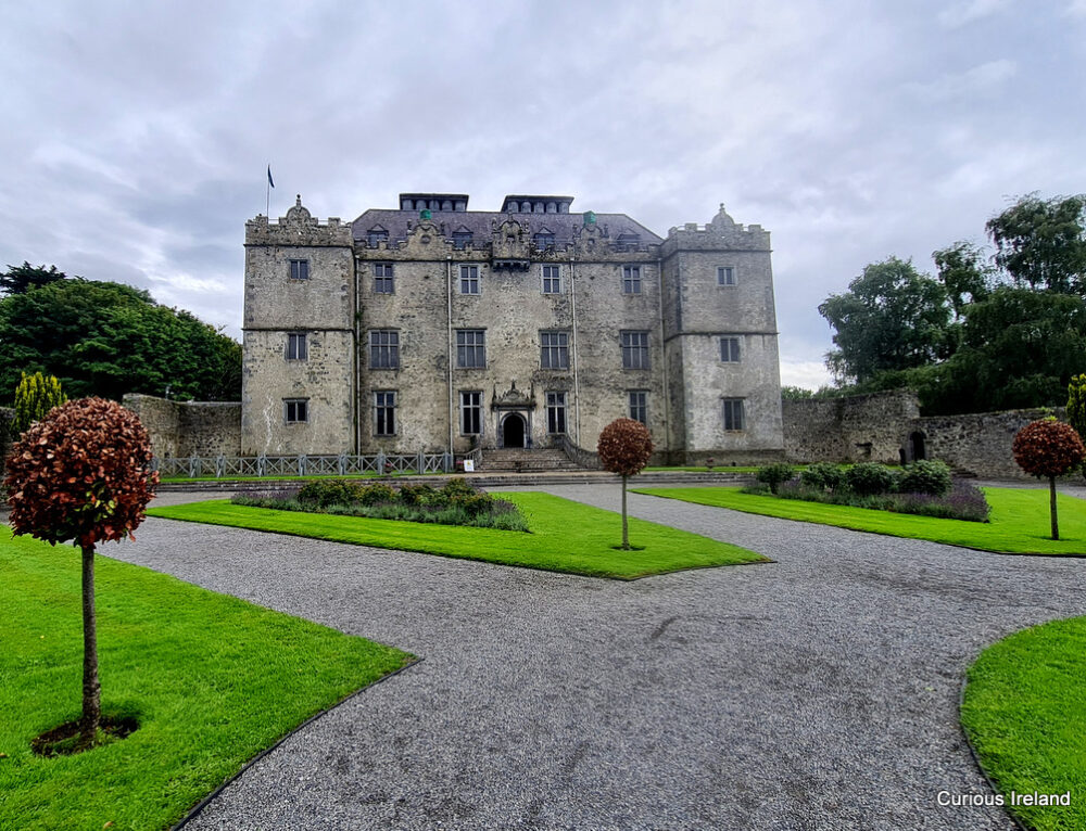 Moneyduff Castle (Site of)Castle, unclassified · 1.4 mi
 North WoodWood · 2.9 mi
 South WoodWood · 3.0 mi
 Leadmine HillMountain / peak · 3.5 mi
 Rabbit IslandIslet · 4.2 mi
 Ballyloughane BeachBeach / strand · 4.6 mi
 Royal Tara Visitor CentreHeritage attraction · 4.6 mi
Other information
Photo: Credit not shown in the picture search · Rights wording not checked; contact us if this picture should be removed