What is recorded here
On the break in gentle NW-facing slope, just to N of small stream in a poorly drained area. There are good views N-E. A roughly square enclosure (dims. c. 42m square). It is described by Barry (1977, 190) as being, 'Almost square site. Flat platform. Remains of int. and ext. banks. Wet moat 6m wide and 1m deep'. The moated site was levelled between the 1970s and 1987 and is not visible at ground level. On Digitalglobe satellite imagery (viewed 5 February 2018) the monument is now surrounded by forestry, the area of the monument itself being left fallow.
Compiled by: Jean Farrelly
Date of upload: 5 Febuary 2018
The monument record does not grant public access. Check the route and ask the landowner before entering private land.
- What survives
- Recorded monument
Places near here
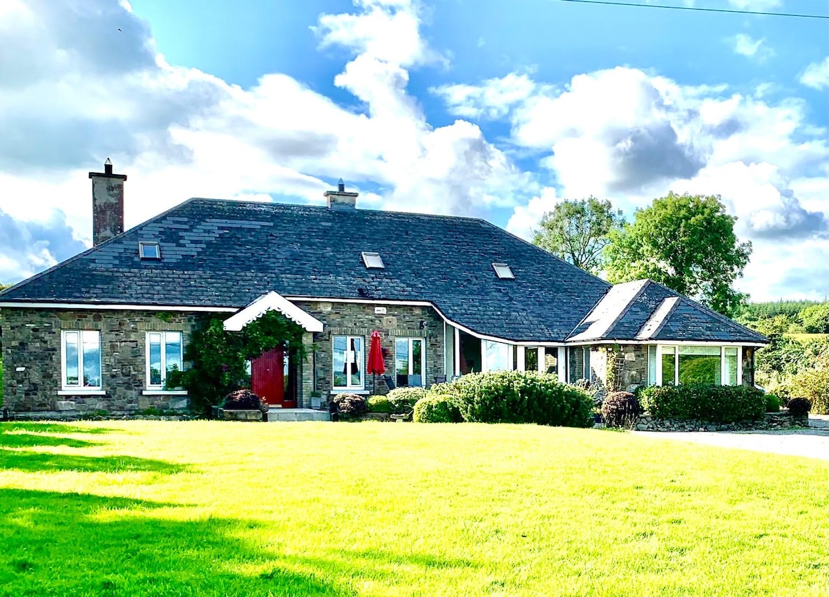 Enclosure in SpahillEnclosure · 1071 yd
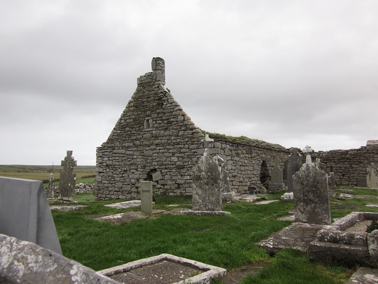 Enclosure in KilloshulanEnclosure · 1279 yd
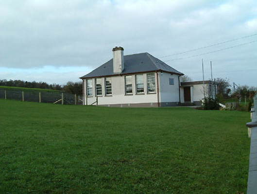 Creenkill National Schoolschool · 1.0 mi
 Saint Muntchan's Catholic Churchchurch/chapel · 1.0 mi
 Killoshulan Castle (ruin)Castle · 1.4 mi
 Clomantagh HillMountain / peak · 1.4 mi
 CastleCastle, tower house · 1.7 mi
 Street fieldArchaeological place · 2.7 mi
 John HelyMemorial · 3.0 mi
 DelaneyMemorial · 3.0 mi
 Kildrinagh WoodForest · 4.2 mi
 Anker's IslandIsland · 6.7 mi