What is recorded here
In sloping field, running down from W-E, formerly poor marginal land. There is a meandering former river course c. 60m to the N. Identified as a circular enclosure (diam. c. 30m) on an aerial photograph (GSI roll 43, print 31). Also clearly visible on aerial photographs (ASIAP (174) 29-30, March 2001). When inspected in 1986 the enclosure was not visible at ground level. The monument is now totally surrounded by forestry, with a circular area (diam. c. 40m) left free of planting where the enclosure is located.
Compiled by: Jean Farrelly
Date of upload: 17 January 2018
The monument record does not grant public access. Check the route and ask the landowner before entering private land.
- What survives
- Recorded monument
Places near here
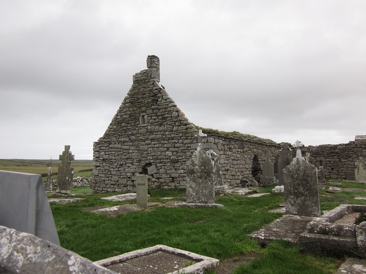 Enclosure in KilloshulanEnclosure · 904 yd
 Enclosure in Clomantagh (mountgarret)Enclosure · 1325 yd
 Clomantagh HillMountain / peak · 1684 yd
 CastleCastle, tower house · 1.1 mi
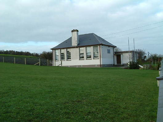 Creenkill National Schoolschool · 1.4 mi
 Saint Muntchan's Catholic Churchchurch/chapel · 1.5 mi
 Killoshulan Castle (ruin)Castle · 1.7 mi
 John HelyMemorial · 2.4 mi
 DelaneyMemorial · 2.4 mi
 Street fieldArchaeological place · 2.5 mi
 Kildrinagh WoodForest · 4.1 mi
 Anker's IslandIsland · 7.2 mi
Other information
Photo: Credit not shown in the picture search · Rights wording not checked; contact us if this picture should be removed