What is recorded here
Monument described in 1943 as following; 'A structure which is almost square on plan. Dimensions are overall, 185' [56.4m] N.-S. by 165' [50m] E.-W, the corners are rounded off. The bank, which is 10' [3m] thick and about the same in height, is of earth faced on both sides with stone. There is no fosse. The entrance is on the N., side 20' [6m] from the N.W., corner. , The stone facing is carried round the jambs of the ope. The bank supports a dense growth of bushes' (O'Kelly 1943, 226).
Compiled by: Caimin O'Brien
Date of upload: 03 January 2019
The monument record does not grant public access. Check the route and ask the landowner before entering private land.
- What survives
- Recorded monument
Places near here
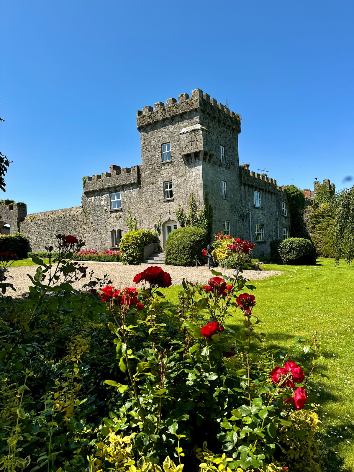 Enclosure in Fanningstown (smallcounty By.)Enclosure · 501 yd
 Carnane RockNamed rock · 659 yd
 Church (in ruins)Church · 1033 yd
 Partially indicatedBawn · 1341 yd
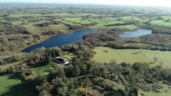 Enclosure in BadgerfortEnclosure · 1406 yd
 Dotted outlineBawn · 1449 yd
 ToberauillinSpring · 1.3 mi
 Cloghane Bridgebridge · 1.3 mi
 Villiers WellSpring · 1.3 mi
 Skool HillMountain / peak · 2.2 mi
 Monasteranenagh AbbeyHeritage attraction · 4.5 mi
 Biodiversity in the Maigue CatchmentVisitor information · 6.0 mi