What is recorded here
In level pasture, in slight depression. Trapezoidal area (dims. c. 28m N-S; c. 26m E-W) with curved corners and defined by low, earthen bank on all sides (L c. 25m to N; L c. 28m to E; L c. 22m to S; L c. 24m to W) with mature trees in places. Bank (Wth 8.0m; int. H 1m; ext. H 1.3m) is flat topped and is evident on S and W sides and scarp on N and E. External fosse (Wth 6.2m; D 0.35m) visible on all sides. Interior level and covered by tall, slender trees. Slightly raised (H 0.2m) rectangular area (dims. c. 18m N-S; c. 16m E-W) adjoins monument to N; traces of an external fosse are evident to N and E side.
Compiled by: Jean Farrelly
Date of upload: 26 August 2011
The monument record does not grant public access. Check the route and ask the landowner before entering private land.
- What survives
- Recorded monument
Places near here
 Enclosure in KnockfoboleEnclosure · 599 yd
 Enclosure in SpringhouseEnclosure · 791 yd
 Dromline CastleCastle · 867 yd
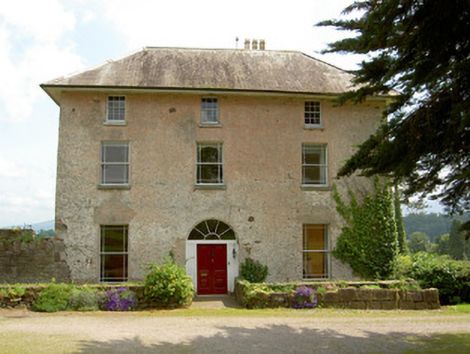 Cluen Househouse · 986 yd
 IndicatedBawn · 1251 yd
 Church (in ruins)Church · 1297 yd
 European ashEuropean ash · 1.4 mi
 Bansha ForestForest · 2.0 mi
 I.R.A. 3rd. Tipperary Brigade MemorialMemorial · 2.6 mi
 It's a long way to TippereryHeritage attraction · 3.2 mi
 The Maid of ErinMemorial · 3.3 mi
 The RockViewpoint · 3.6 mi