What is recorded here
Situated in pasture, 390m NW of the N shoreline of Lough Derravaragh. Cropmark of a rectangular-shaped area (int. dims. c. 28m E-W x 34m N-S; ext. dims. 40m N-S x 37m E-W) defined by a ditch transected at S by a field boundary that is visible on Digital Globe orthoimage taken between 2011-13. Possible cropmark of a levelled moated site which is clearly visible on Google Earth orthoimage taken 03/04/2022.
See attached Google Earth orthoimage dated 03/04/2022
Compiled by: Caimin O'Brien based on details provided by Johnny Ryan, Archaeologist, Forestry Inspectorate (Forest Service), Department of Agriculture, Food and the Marine.
Date of upload: 8 Match 2023
The monument record does not grant public access. Check the route and ask the landowner before entering private land.
- What survives
- Recorded monument
Places near here
 Settlement platform in DerryaSettlement platform · 447 yd
 OutlinedFairy fort / earthen ringfort · 659 yd
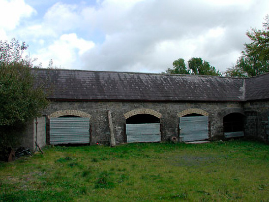 stablesstables · 725 yd
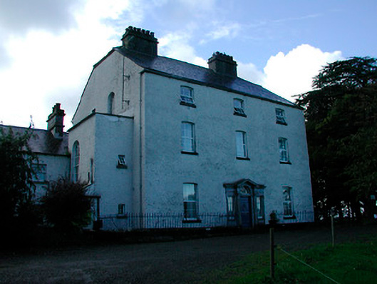 Coolure Housecountry house · 1103 yd
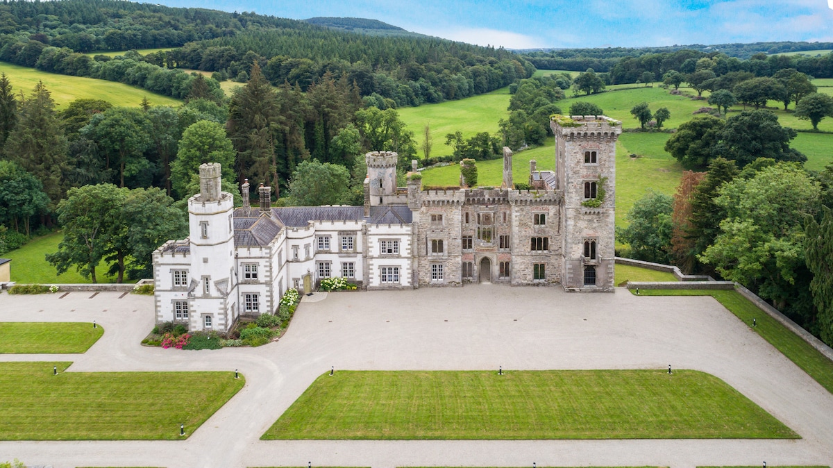 CastleCastle, tower house · 1.1 mi
 Bawn in KiltoomBawn · 2.0 mi
 European BeechEuropean Beech · 2.3 mi
 Pedunculate OakPedunculate Oak · 2.5 mi
 Bridge Memorial (Kenna)Memorial · 3.1 mi
 Rock of CurryCliff · 4.7 mi
 Seafin HillMountain / peak · 8.6 mi
 CarrickabaneMountain / peak · 9.0 mi