What is recorded here
Situated in a broad basin in a gently undulating landscape. This is a slightly raised, grass-covered and rectangular area (dims 13m N-S; 11m E-W) defined by a wide fosse or moat (Wth of top c. 12-13m; Wth of base 6m; int. D 1.8-2m; ext. D 0.5-0.8m) with an external bank (Wth 5.5-6m; ext. H 0.2-0.5m). There are entrance gaps in the platform at W but the most northerly (Wth 2.2m) is opposite an entrance (Wth 2m) in the outer bank and could be original, although there is no causeway. An E-W field drain (Wth of top 2.7m; D 1.5m) runs through the moat at S (max. ext. dims 44m E-W; 42m N-S).
The above description is derived from the published 'Archaeological Inventory of County Meath' (Dublin: Stationery Office, 1987). In certain instances the entries have been revised and updated in the light of recent research.
Compiled by: Michael Moore
Date of upload: 10 July 2007
Amended: 4 May 2022, 23 March 2023
The monument record does not grant public access. Check the route and ask the landowner before entering private land.
- What survives
- Recorded monument
Places near here
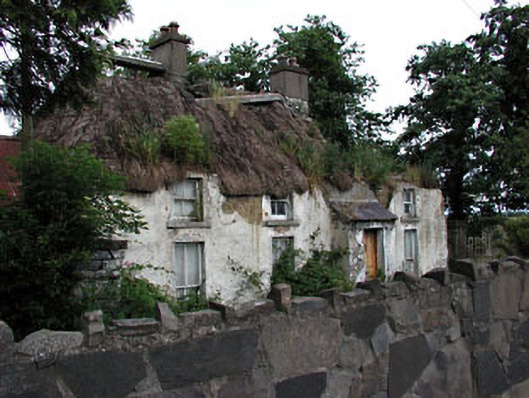 farm housefarm house · 719 yd
 IndicatedEnclosure · 734 yd
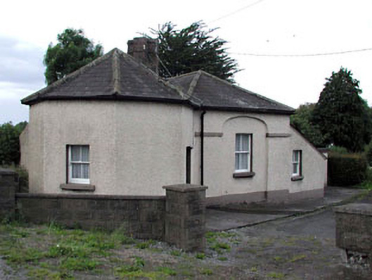 toll housetoll house · 765 yd
 Enclosure in Piercetown (duleek Upper By.)Enclosure · 1643 yd
 Newtown HillMountain / peak · 1.1 mi
 Newtown GorseWood · 1.2 mi
 PuddenhillHeritage attraction · 1.4 mi
 Emerald ParkHeritage attraction · 1.9 mi
 Lemur WoodWood · 2.0 mi
 Macetown CastleCastle, tower house · 2.3 mi
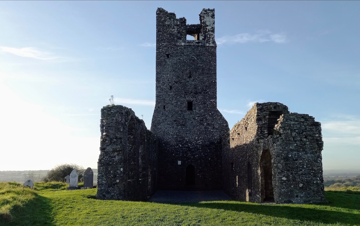 CastleCastle, motte · 2.5 mi
 The story of the milk standMemorial · 4.2 mi