What is recorded here
Water raged east and west of a narrow strip of land, forcing whoever lived there to build upwards instead of outwards. The wedge-shaped banks and fosse cut through grassland still mark the edge of that old floodplain, even though the Dooyertha River has since shifted south. A causewayed gap at the northwest suggests entry was controlled, perhaps by rope, timber or warning rather than stone. The missing northern and eastern edges do not weaken the place; they remind us that water and time erase more than they reveal.
In low-lying grassland. The old course of the Dooyertha River flowed immediately to the E of this moated site and separated it from a rath (GA097-090002-) to its E. The river now flows to the S of both monuments. Roughly wedge-shaped in plan, the moated site (36m NE-SW; 17.6m NW-SE) is defined by two earthen banks and an intervening fosse. No visible surface trace of the enclosing elements survives from N through E to SE. There is a well-defined causewayed entrance gap at NW. A motte and bailey (GA096-144----) lies c. 500m to the WNW. (McCaffrey 1952, 168, no. 5a; Cody 1989, 327-8, no. 144)
Compiled by: Galway Archaeological Survey, UCG
Date of upload: 7 December 2017
The monument record does not grant public access. Check the route and ask the landowner before entering private land.
- What survives
- Recorded monument
Places near here
 MoteCastle, motte and bailey · 619 yd
 Enclosure in OldcastleEnclosure · 659 yd
 Badhbunmore Castle (in ruins)Castle, unclassified · 784 yd
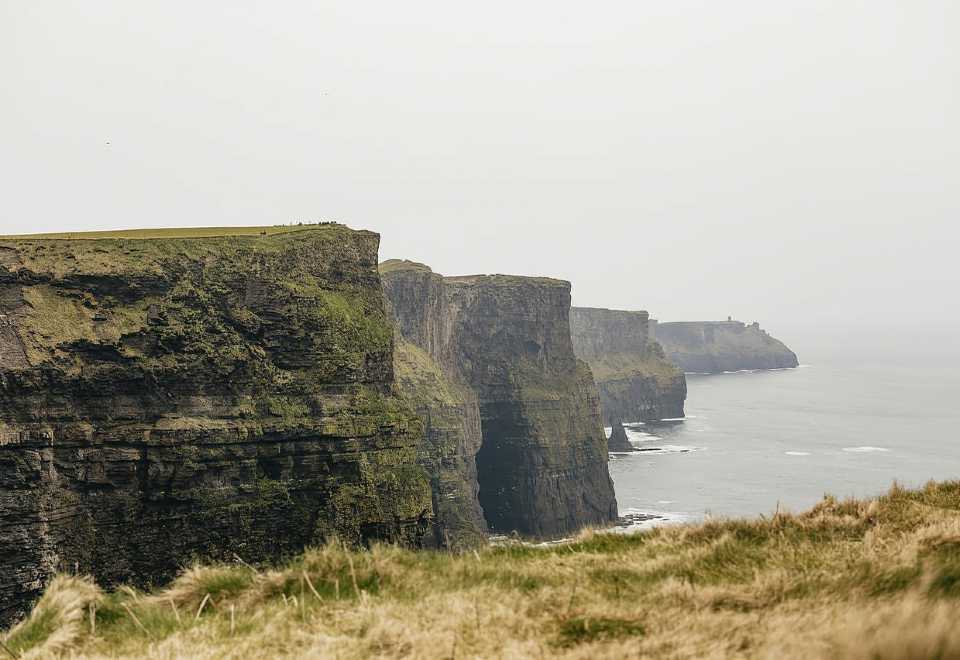 Curraghmore FortFairy fort / earthen ringfort · 981 yd
 Ratty's Bridgebridge · 1303 yd
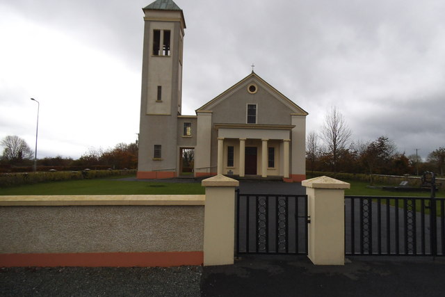 Catholic Church of the Immaculate Conceptionchurch/chapel · 1627 yd
 Moyard WoodWood · 1.8 mi
 Athenry AbbeyHeritage attraction · 4.0 mi
 Athenry CastleHeritage attraction · 4.1 mi
 Horse-chestnutHorse-chestnut · 4.3 mi
 First Battle of Athenrybattle · 4.7 mi
 Blake's IslandIslet · 5.8 mi