What is recorded here
Visible on vertical aerial photographs (ACAP, V165/130-31), and situated at the bottom of a valley on a W-facing slope. Rectangular grass-covered area (dims. 42m N-S; 31m E-W) defined by a fosse (Wth 4m; D 0.1-0.3m) at W and S, a field bank at N and a slope down to the site at E.
The above description is derived from the published 'Archaeological Inventory of County Waterford' (Dublin: Stationery Office, 1999). In certain instances the entries have been revised and updated in the light of recent research.
Compiled by Michael Moore
Date of upload/revision: 31 July 2010
The monument record does not grant public access. Check the route and ask the landowner before entering private land.
- What survives
- Recorded monument
Places near here
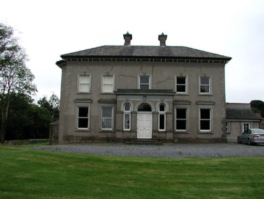 Brook Lodgehouse · 154 yd
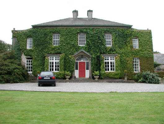 Foxmounthouse · 157 yd
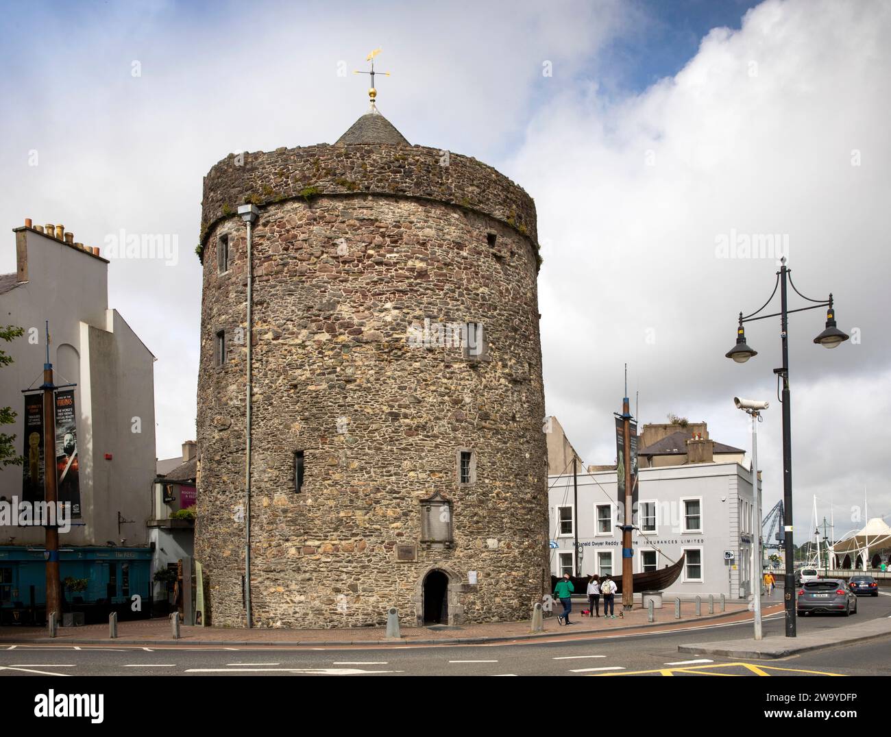 Enclosure in BallyvoreenEnclosure · 738 yd
 Burnt mound in BallynabolaBurnt mound · 804 yd
 Castle (in ruins)Castle, tower house · 1031 yd
 Ballinakill WoodsWood · 1.5 mi
 MoteCastle, motte · 1.8 mi
 Monterey CypressMonterey Cypress · 2.5 mi
 Memory of the crew of "Rescue 111"Memorial · 6.3 mi
 Tramore Dunes WalkWalking route · 6.5 mi
 Tramore Tourist OfficeVisitor information · 6.9 mi