What is recorded here
In reclaimed grassland on a NW-facing slope of hillock in undulating upland region with stream immediately to NW of possible moated site. Slight hollow depression marks the location of a possible moated site which has been levelled. Indicated as a small square-shaped earthwork on the 1840 ed. OS 6-inch map and not on the 1906 ed. OS 6-inch map, presumably levelled between 1840 and 1903.
Compiled by: Jean Farrelly
Date of upload: 26 August 2011
The monument record does not grant public access. Check the route and ask the landowner before entering private land.
- What survives
- Recorded monument
Places near here
 Crohane CastleCastle · 785 yd
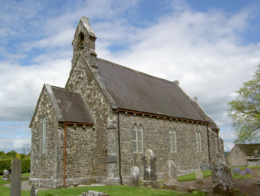 Crohane Churchchurch/chapel · 792 yd
 Site of ChurchChurch · 792 yd
 ToberoneHoly well · 829 yd
 RoadRoad, hollow-way · 1065 yd
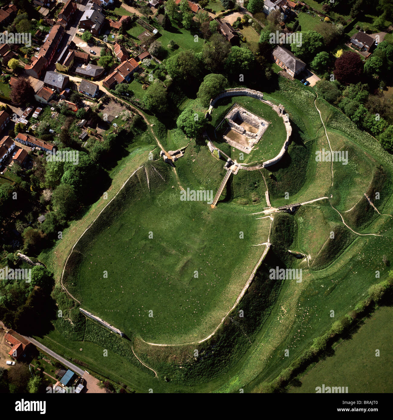 CastleCastle, motte and bailey · 1.8 mi
 Eagle HillMountain / peak · 2.5 mi
 Knockuragh HillMountain / peak · 3.0 mi
 Slieveardagh Heritage CentreVisitor information · 3.8 mi
 Fenane WoodForest · 3.9 mi
 Top Field at Carey'sForest · 4.0 mi
 Derrynaflan TrailHeritage attraction · 6.0 mi