What is recorded here
Located on a broad shelf at the bottom of the S-facing slope of Craan Hill. The cropmark of a rectangular enclosure (dims c. 32m WNW-ESE: c. 32m NNE-SSW) defined by narrow fosses on every side including the S where the feature is slightest is visible only on Google Earth (14/07/2018). It is within a large enclosure (dims c. 80m NW-SE; c. 70m NE-SW) defined by a slight fosse feature that is only visible SW-N-S, leaving a gap (Wth c. 34m) at SW. It was first reported by Jean Charles Caillere.
Compiled by: Michael Moore
Date of upload: 17 September 2019
The monument record does not grant public access. Check the route and ask the landowner before entering private land.
- What survives
- Recorded monument
Places near here
 Craan HillMountain / peak · 1003 yd
 Embanked enclosureFairy fort / ringfort · 1057 yd
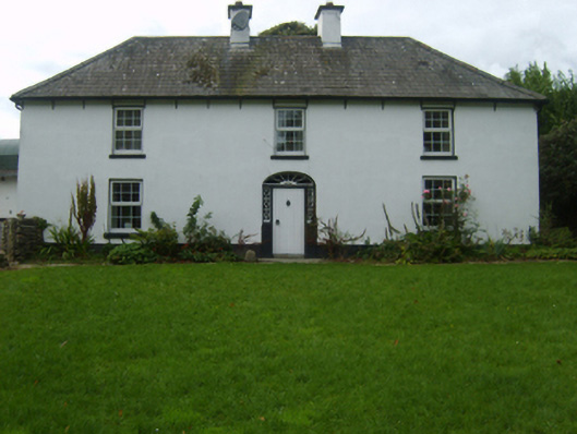 farm housefarm house · 1557 yd
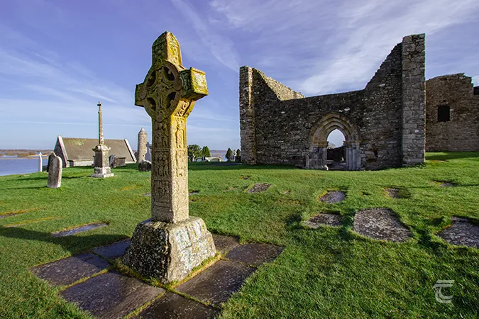 Monastery (Site of)Ecclesiastical site · 1564 yd
 Kilmichael HillMountain / peak · 1703 yd
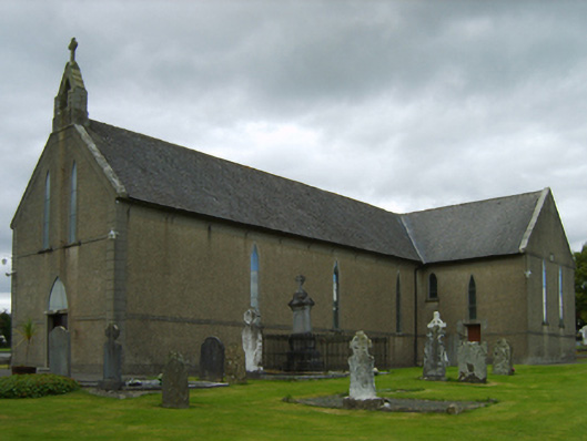 Saint Brendan's Catholic Churchchurch/chapel · 1.0 mi
 Mountnebo WoodForest · 1.2 mi
 Ballingarry WoodForest · 2.2 mi
 Saint Brigid's WellSpring · 2.5 mi
 Blue SchoolMemorial · 3.8 mi
 1798 MonumentMemorial · 3.9 mi
 Market HouseHeritage attraction · 4.2 mi