What is recorded here
Sub-rectangular enclosure (38m E-W, 30m N-S) defined by two closely spaced fosses visible on aerial photographs (CUCAP, AJZ 2; GB89.B.15).
Compiled by: Claire Breen
Date of upload: 13 April 2012
The monument record does not grant public access. Check the route and ask the landowner before entering private land.
- What survives
- Recorded monument
Places near here
 Field system in Commons (dromiskin Par.)Field system · 84 yd
 Enclosure in Commons (dromiskin Par.)Enclosure · 771 yd
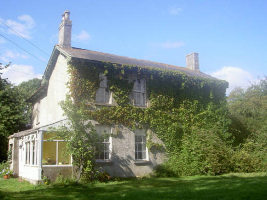 The Rectoryrectory/glebe/vicarage/curate's house · 781 yd
 Dunmahon CastleCastle, tower house · 1489 yd
 CastleCastle, tower house · 1565 yd
 Long WoodForest · 1656 yd
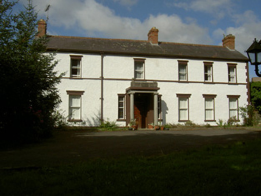 Rossmakeahouse · 1711 yd
 Broad WoodForest · 1.1 mi
 Viking BoatHeritage attraction · 1.8 mi
 Photo GalleryHeritage attraction · 3.9 mi
 Maid of ErinMemorial · 4.1 mi
 Bombing 1975Memorial · 4.1 mi