What is recorded here
This roughly rectangular enclosure is situated on slightly elevated land and has a good view of the surrounding countryside. It consists of an enclosing earthen bank that has a maximum external diameter of 47m N-S and 52m E-W. No trace of any exterior fosse could be noted. The maximum external height of the bank measures 1.5m, the width of the bank at the base measures c 3m, and the height of the bank above the interior measures .85m. There are three main breaks in the bank: in the NW corner, SW corner and SE corner, measuring c 2m, c 6m, and c 2m respectively. Westropp (1909) makes reference to a square fort without a fosse at Cloonaman.
The above description is derived from C. Toal, ‘North Kerry Archaeological Survey’. Dingle. Brandon in association with FAS Training and Employment Authority (1995), no. 977. In certain instances the entries have been revised and updated in the light of recent research.
Date of upload: 3 August 2013
The monument record does not grant public access. Check the route and ask the landowner before entering private land.
- What survives
- Recorded monument
Places near here
 TobereltonHoly well · 734 yd
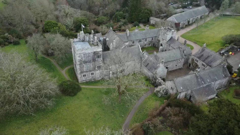 ToberscatteryHoly well · 1220 yd
 CastleCastle, ringwork · 1493 yd
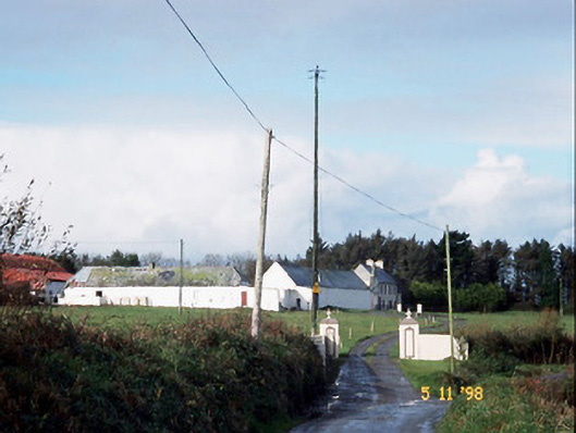 Kilelton Farm Yardfarmyard complex · 1592 yd
 Church (in ruins)Church · 1624 yd
 Siege of Carrigafoyle Castlesiege · 1636 yd
 Carrigafoyle Cas. (in ruins)Castle, tower house · 1755 yd
 Carrig IslandIsland · 1.1 mi
 Fawley's PointHeadland · 3.4 mi
 Scattery IslandIsland · 3.5 mi
 Scattery Island Visitor CentreVisitor information · 3.6 mi
 Cusheen PointHeadland · 3.8 mi