What is recorded here
At the N foot of a low rise in otherwise level pastureland. A poorly preserved rectangular area (int. dims. L 34m E-W; Wth 29m) is defined by a broad, shallow fosse (Wth 10.7-13.5m; D 0.3-0.9m) which is heavily poached by livestock on the E side. The N portion of the level, featureless interior is crossed by tractor tracks.
Compiled by: Gearóid Conroy
Date of upload: 10 June 2011
The monument record does not grant public access. Check the route and ask the landowner before entering private land.
- What survives
- Recorded monument
Places near here
 Site of CastleCastle, tower house · 917 yd
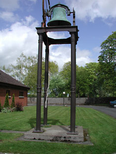 Catholic Church of the Holy Familybell tower/stand · 1286 yd
 Fairy fort / ringfort in Thomastown (cadamstown Ed)Fairy fort / ringfort · 1597 yd
 EnclosureEnclosure, large enclosure · 1654 yd
 Church (in Ruins)Church · 1.1 mi
 Mylerstown Castle in RuinsCastle, tower house · 1.7 mi
 Buggan's WoodWood · 4.5 mi
 Horse-chestnutHorse-chestnut · 4.8 mi
 Cloncurry GraveyardHeritage attraction · 4.9 mi
 Croppies' GraveMemorial · 5.2 mi
 The Grill ShackHeritage attraction · 5.2 mi
 Grand Canal WayVisitor information · 9.1 mi