What is recorded here
In tillage. Depicted as hachured rectangular enclosure (c. 40m N-S; c. 20m E-W) on 1842 OS 6-inch map. Levelled; no visible surface trace. According to Hartnett (1939, 276), outline could be traced giving 'dimensions of approximately 50 by 30 yards', with 'a spring well outside the line of the northern rampart'. Fulacht fiadh (9761) in N portion of site.
The above description is derived from the published 'Archaeological Inventory of County Cork. Volume 3: Mid Cork' (Dublin: Stationery Office, 1997). In certain instances the entries have been revised and updated in the light of recent research.
Date of upload/revision: 14 January 2009
The monument record does not grant public access. Check the route and ask the landowner before entering private land.
- What survives
- Recorded monument
Places near here
 Castle (in Ruins)Castle, tower house · 835 yd
 Site of Grave YardBurial ground · 1105 yd
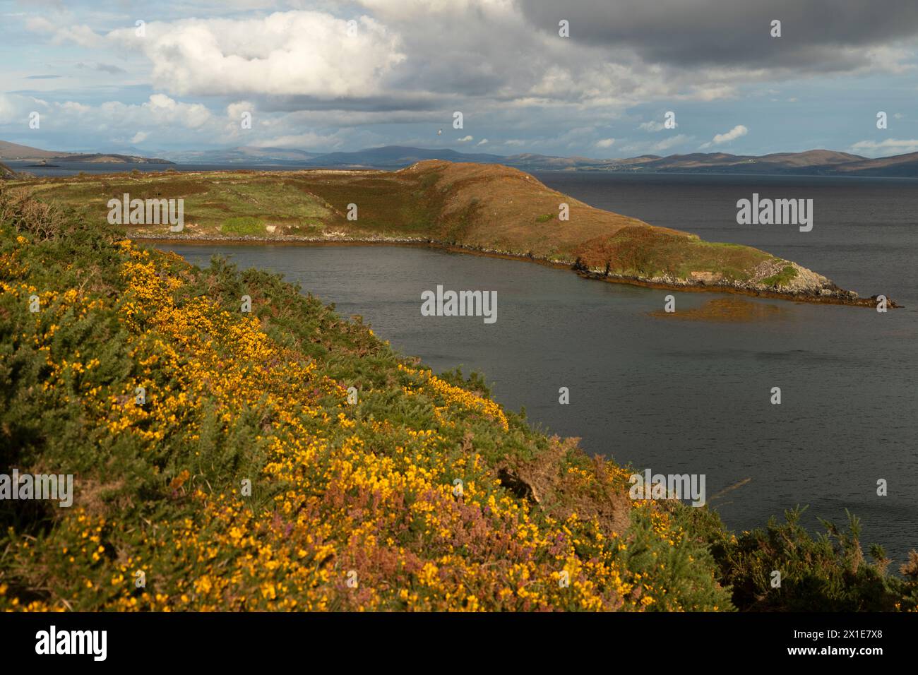 IndicatedBurial ground · 1227 yd
 Church in Killowen (muskerry East By.)Church · 1410 yd
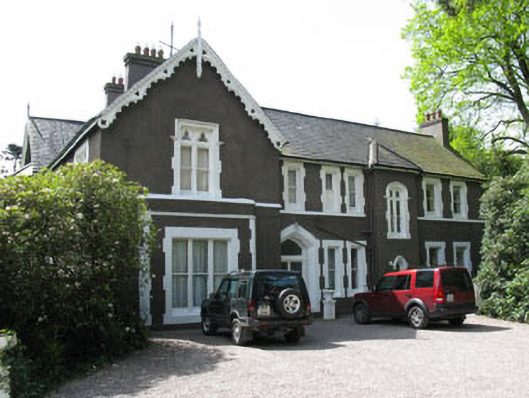 Maranatha Houseguest house/b&b · 1440 yd
 Lion RockNamed rock · 1.8 mi
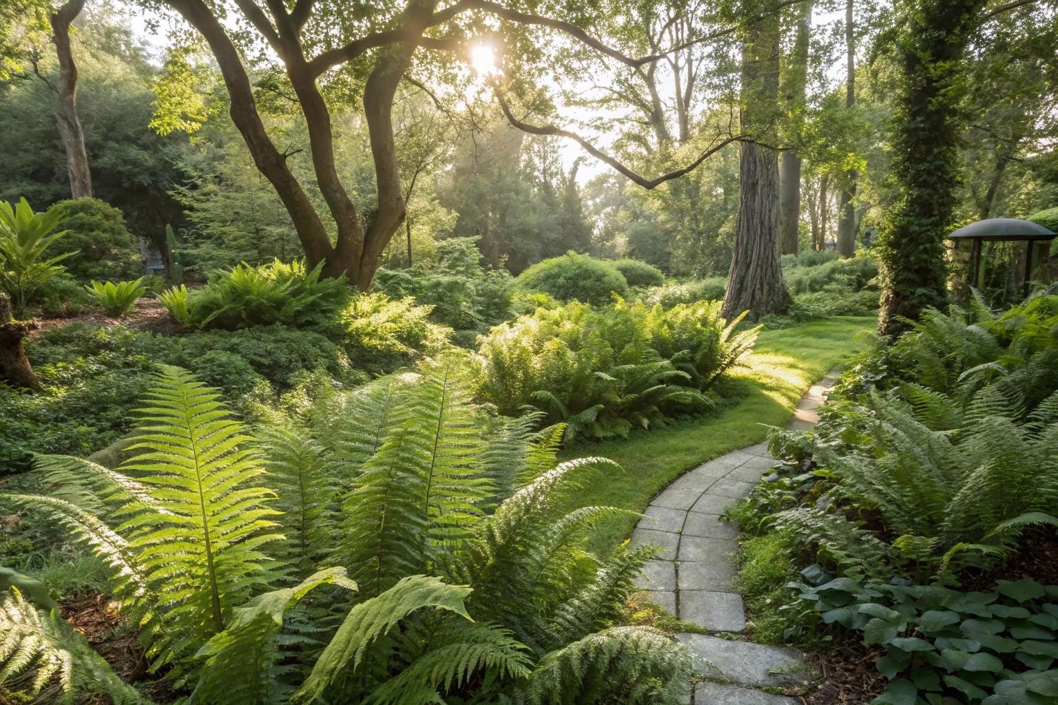 Fern GardenHeritage attraction · 1.8 mi
 Western RedcedarWestern Redcedar · 2.0 mi
 Turner's Rock WoodWood · 2.0 mi
 Badgers CaveCave · 2.0 mi
 Blarney LakeVisitor information · 2.0 mi
 Blarney lake bird nest islandIslet · 2.1 mi