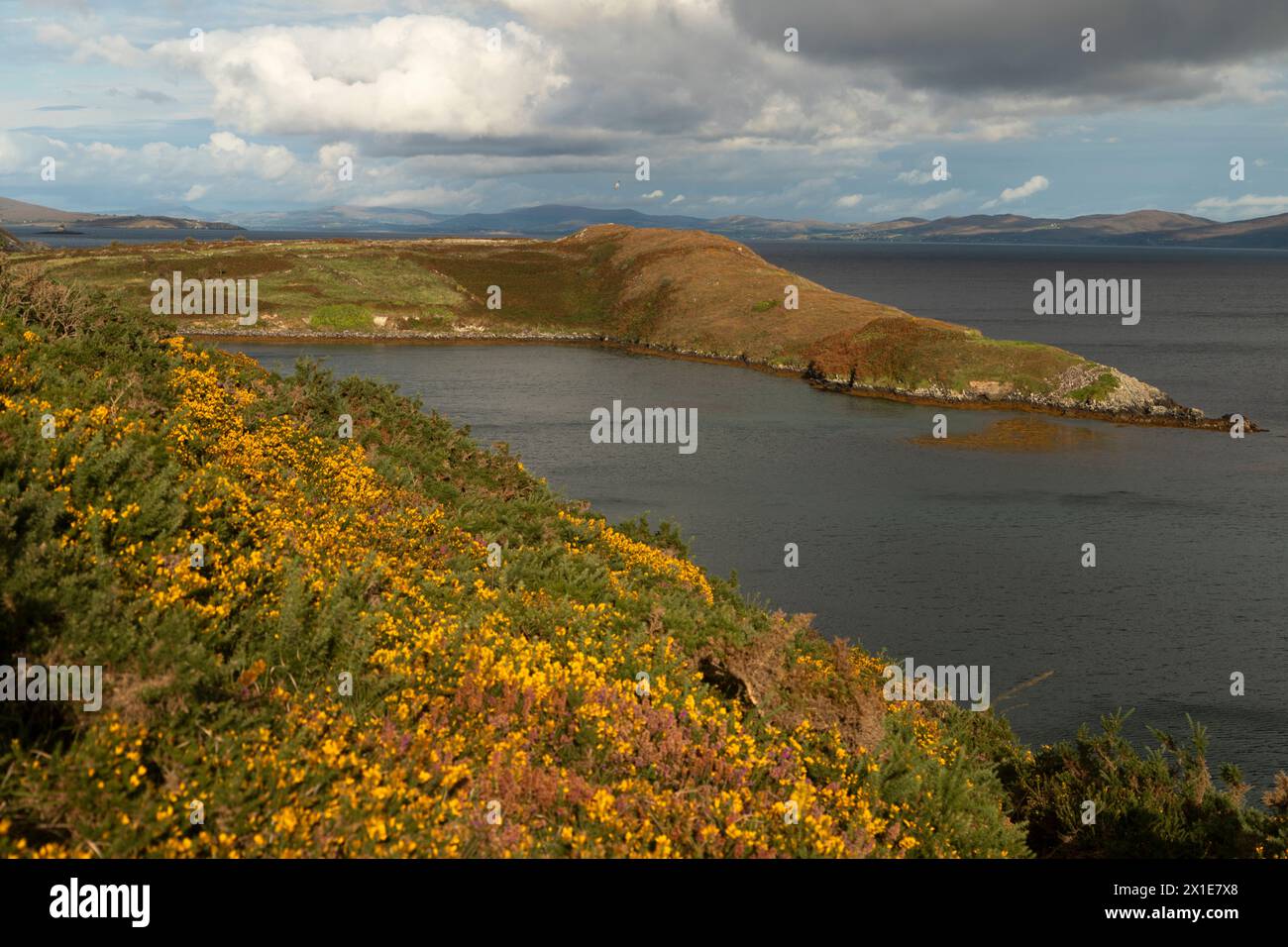
What is recorded here
In pasture, c. 100m to NE of moated site (9387). Depicted on 1842 OS 6-inch map as roughly circular area (c. 60m NW-SE) defined by broken line. Slight rise visible in area of site. According to Hartnett (1939, 279), field to E locally known as 'Pairc na Croiche (the field of the gallows)...and from time to time human bones are unearthed here during tillage operations'.
The above description is derived from the published 'Archaeological Inventory of County Cork. Volume 3: Mid Cork' (Dublin: Stationery Office, 1997). In certain instances the entries have been revised and updated in the light of recent research.
Date of upload/revision: 14 January 2009
Neolithic passage tomb; dates to the early to middle Neolithic period (c. 3700–3000 BCE). Its association with a nearby moated site suggests potential continuity of ritual or territorial use of the landscape over millennia.
The monument record does not grant public access. Check the route and ask the landowner before entering private land.
- What survives
- Recorded monument
Places near here
 Fulacht fia in Killeen (muskerry East By.)Fulacht fia · 626 yd
 Inchbeghouse · 1133 yd
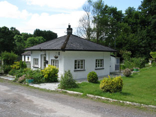 gate lodgegate lodge · 1243 yd
 Mass-rock in GortdonaghmoreMass-rock · 1.1 mi
 Castle (in Ruins)Castle, tower house · 1.2 mi
 Ballyanly Inniscarra Slí na SláinteWalking route · 1.8 mi
 Lion RockNamed rock · 2.3 mi
 Fern GardenHeritage attraction · 2.4 mi
 Turner's Rock WoodWood · 2.5 mi
 Blarney lake bird nest islandIslet · 2.5 mi
 Hugh MaguireMemorial · 2.5 mi
 Western RedcedarWestern Redcedar · 2.5 mi
Other information
Photo: Credit not shown in the picture search · Rights wording not checked; contact us if this picture should be removed