What is recorded here
Located at the bottom of a SE-NW valley in reclaimed pasture with a N-S section of a stream immediately to the W. This is a grass-covered rectangular area (dims 22m N-S; 22m E-W) defined by a slight fosse or moat (Wth 3.5-4m) which is now visible as bands of lush vegetation. A leat from an old E-W stream bed that is just to the S leads into the moat at the SE angle and another leat from the NW angle leads to the extant stream. This is a possible moated site and rath (LE015-113----) is c. 30m to the S.
The above description is derived from 'The Archaeological Inventory of County Leitrim' compiled by Michael J. Moore (Dublin: Stationery Office, 2003). In certain instances the entries have been revised and updated in the light of recent research.
Date of upload: 23 September 2008
The monument record does not grant public access. Check the route and ask the landowner before entering private land.
- What survives
- Recorded monument
Places near here
 Enclosure in Tully (drumahaire By.)Enclosure · 528 yd
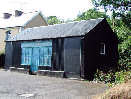 W.H. Parke and Sonshop/retail outlet · 565 yd
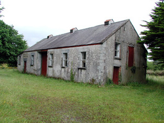 Dromahair Creamerycreamery · 611 yd
 Not indictedSweathouse · 932 yd
 Old HallCastle, hall-house · 1.1 mi
 IndicatedBawn · 1.1 mi
 Green IslandIslet · 2.4 mi
 Cullentra ForestForest · 3.1 mi
 Trawane BayBay · 3.6 mi
 InnisfreeIslet · 3.7 mi
 Parke's CastleHeritage attraction · 4.0 mi
 SlishwoodWood · 4.2 mi