What is recorded here
In low-lying marshy terrain on an island in the River Anner, under pasture. Clare Castle, a hall-house (TS070-083001-) re-used as a foritified house (TS070-083003-; TS070-083005-) and bawn (TS070-083004) are located on another raised area immediately to S. A raised rectangular area (dims. 54m NE-SW; 78m NW-SE) defined by scarp (H 0.35m; Wth 4m) and a slight outer fosse (Wth 3m; D 0.2m). Outside the raised enclosure the ground is very wet, despite having been reclaimed. This possible moated site is indicated on the 1st ed. OS 6-inch map as a square enclosure (dims. 66m) with a field boundary forming the E side and with an outer enclosing element, possible a fosse, on the N and W sides. The monument is not marked on the 2nd (1903-04) ed. OS 6-inch map.
Compiled by: Jean Farrelly
Date of upload: 20 November 2011
The monument record does not grant public access. Check the route and ask the landowner before entering private land.
- What survives
- Recorded monument
Places near here
 Clare Castle (in ruins)Castle, hall-house · 82 yd
 Clare Br.Bridge · 118 yd
 Killusty Bridgebridge · 624 yd
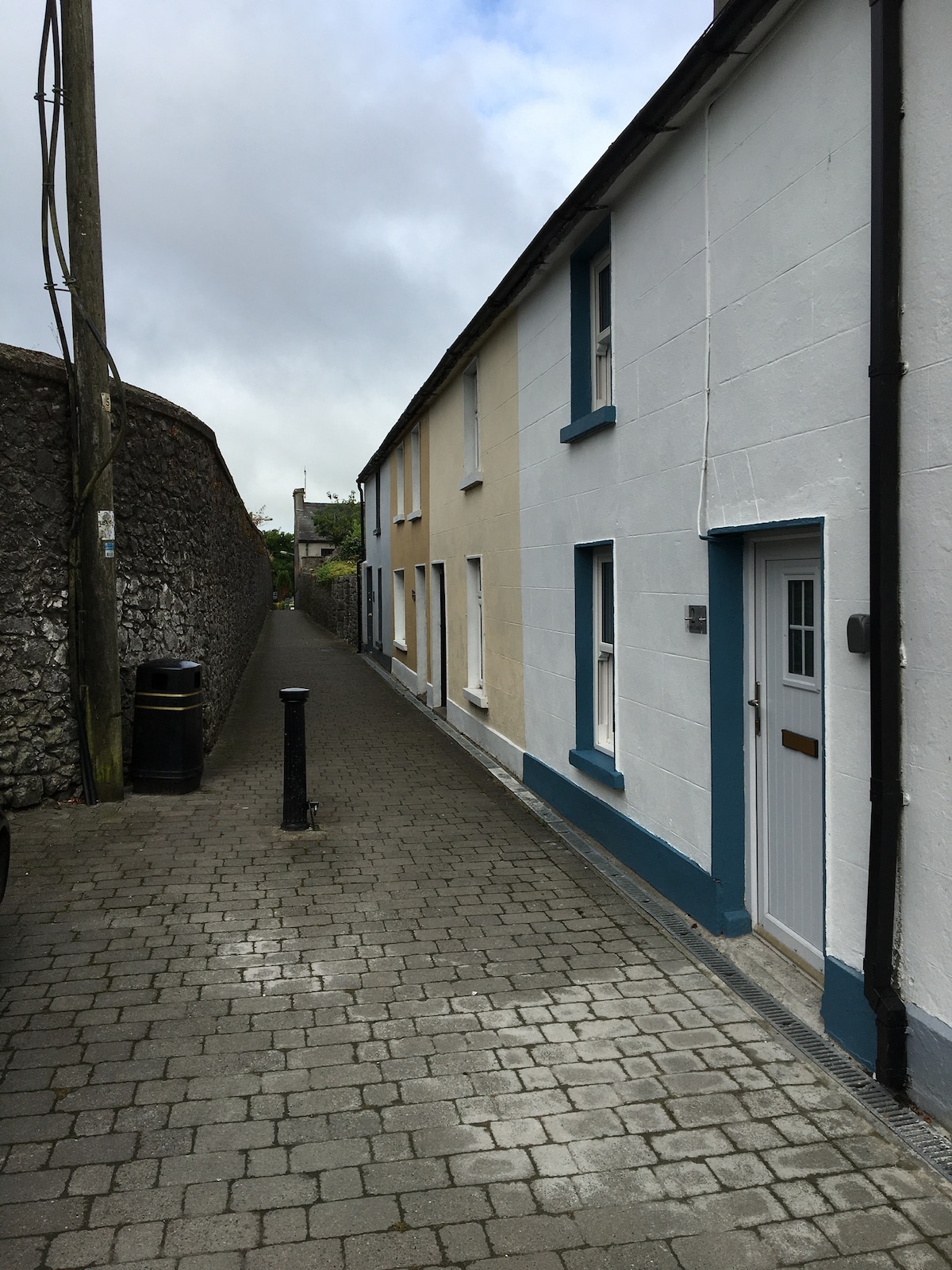 Enclosure in MilestownEnclosure · 1389 yd
 Killusty CastleCastle · 1731 yd
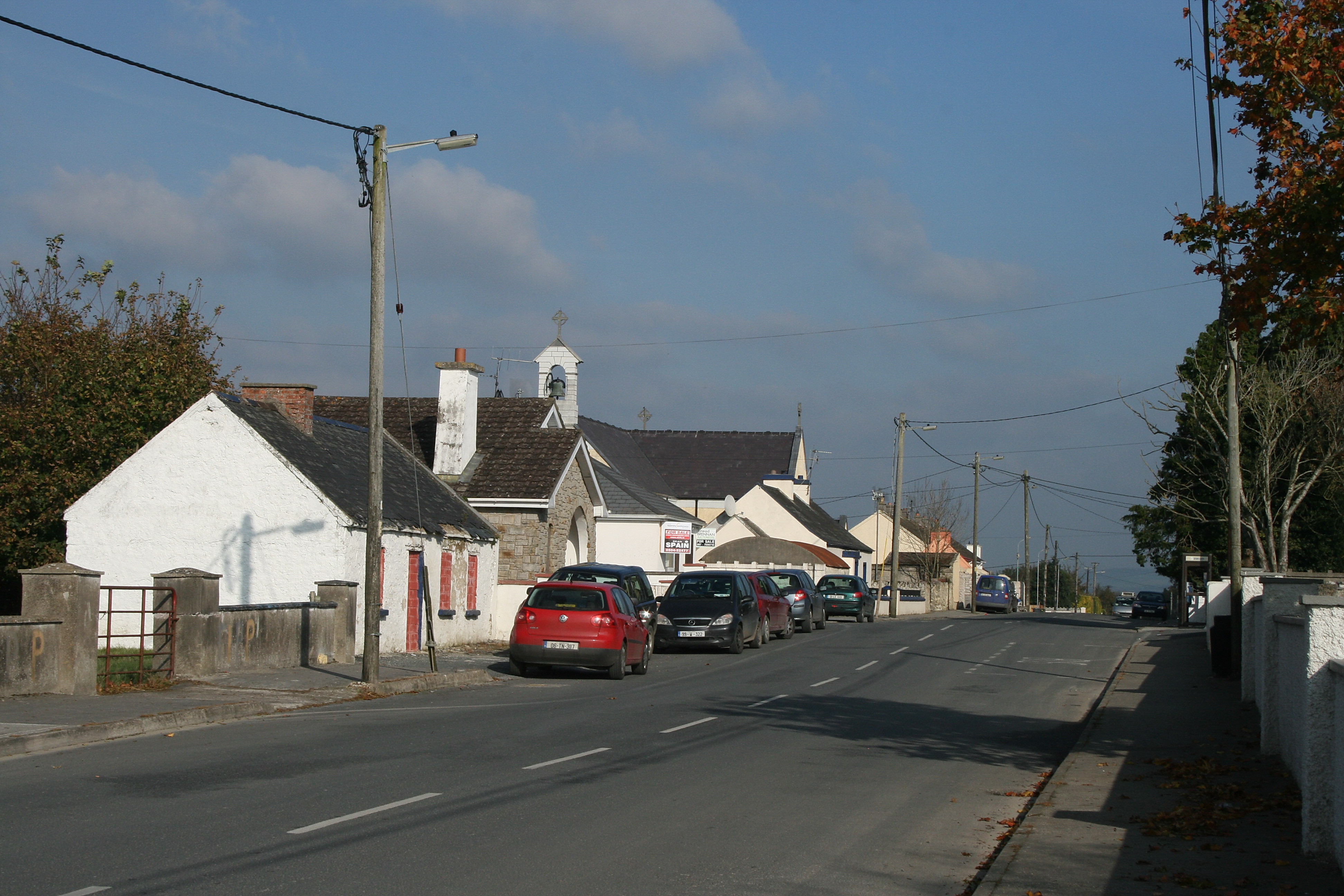 RaheenroeEnclosure · 1.0 mi
 CarrigdotiaMountain / peak · 1.6 mi
 Pedunculate OakPedunculate Oak · 2.0 mi
 CarrickbrockMountain / peak · 2.0 mi
 Grove WoodForest · 2.7 mi
 East GateMemorial · 2.9 mi
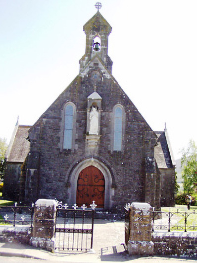 Catholic Church of the Sacred Heartchurch/chapel · 1019 yd