What is recorded here
Raised subrectangular area (int. dims. c. 65m NW-SE; c. 40m NE-SW) enclosed by a substantial inner bank, a wide, deep, partly waterlogged intermediate fosse and a partially surviving outer bank. Outer fosse is best preserved at S but its outline may be traced throughout its course. An earlier report (OPW 1974) noted that the NE and SE corners of the outer bank and the NW and SW corners of the inner bank are raised. Break in inner bank (but without any trace of accompanying causeway) midway along the W side probably represents original entrance.
The above description is derived from the published 'Archaeological Inventory of County Cavan' (Dublin: Stationery Office, 1995). In certain instances the entries have been revised and updated in the light of recent research.
Date of upload/revision: 22 December 2008
The monument record does not grant public access. Check the route and ask the landowner before entering private land.
- What survives
- Recorded monument
Places near here
 CarrickabaneMountain / peak · 48 yd
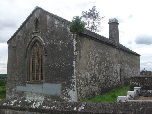 Drumloman Church of Ireland Churchchurch/chapel · 280 yd
 Church in Carrick (clanmahon By.)Church · 644 yd
 Moynagh Upper ForestForest · 1290 yd
 Carrick RockWood · 1361 yd
 CarrickMountain / peak · 1751 yd
 IndicatedCrannog · 1.3 mi
 Sporting RockIslet · 1.3 mi
 Watty's RocksIslet · 1.4 mi
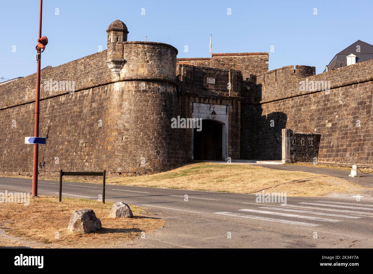 Bastioned fort in FinneaBastioned fort · 1.5 mi
 CastleCastle, motte · 2.0 mi
 R. C. ChapelChurch · 1219 yd