What is recorded here
In lowlying gently undulating pasture with moderate views in all directions. Enclosure (LI022-196----) lies 200m to N. Identified from Bruff Survey aerial photographs taken 1986 (Bruff 67; AP 4/3707) as a rectangular-shaped cropmark. Surveyed by the ASI in 2000 and described as a rectangular shaped area (56m N-S; 45m E-W) defined by a scarped edge (Wth 2.5m; H 0.4m) with an external fosse (Wth 2.1m; D 0.4m). A shallow ditch (Wth 1.8m; D 0.2m) intersects the fosse at NW. Outline of monument is clearly visible on Google Earth orthoimage taken 06/02/2018.
See attached sketch plan drawn by the ASI, Bruff Aerial Survey photograph and Google Earth orthoimage
Compiled by: Martin Fitzpatrick
Date of upload: 11 August 2020
The monument record does not grant public access. Check the route and ask the landowner before entering private land.
- What survives
- Recorded monument
Places near here
 Enclosure in Arywee,carnaneEnclosure · 431 yd
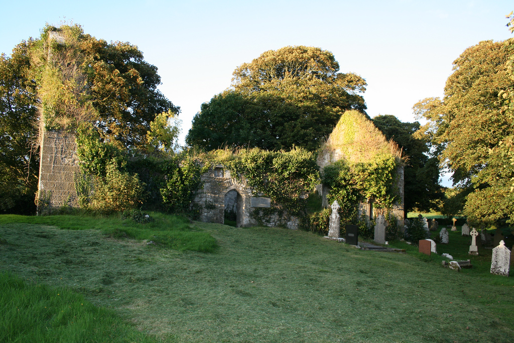 Enclosure in Boherload,carnaneEnclosure · 788 yd
 Carnane RockNamed rock · 958 yd
 ToberauillinSpring · 1004 yd
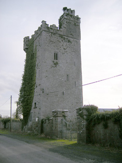 Williamstown Castlecastle/fortified house · 1094 yd
 Church (in ruins)Church · 1627 yd
 Ballynagarde Ho.Castle, tower house · 1.0 mi
 Rockstown Castle (in ruins)Castle, tower house · 1.2 mi
 Skool HillMountain / peak · 1.6 mi
 Banoge's WellSpring · 2.1 mi
 European ashEuropean ash · 4.3 mi
 Grange Stone CircleArchaeological place · 4.4 mi