What is recorded here
On a S-facing slope in upland terrain. A rectangular enclosure (dims. c. 53m NW-SE; c. 50m NE-SW) identified as a cropmark of a levelled bank and outer fosse on an aerial photograph (GSI S478, 1973-7).
Compiled by: Jean Farrelly
Date of upload: 7 July 2020
The monument record does not grant public access. Check the route and ask the landowner before entering private land.
- What survives
- Recorded monument
Places near here
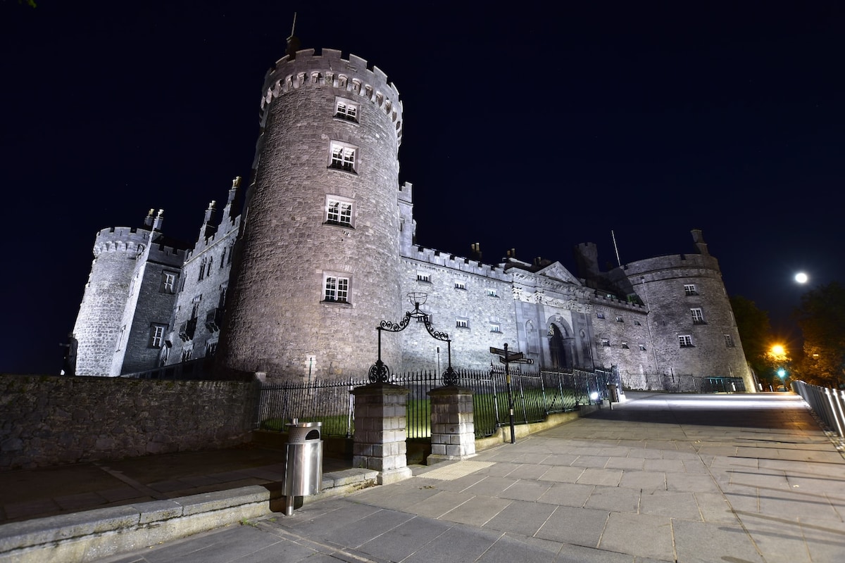 Newengland Ringfort (rath)Archaeological place · 990 yd
 Enclosure in TrenchardstownEnclosure · 1358 yd
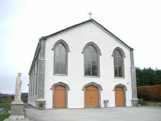 Catholic Church of the Assumptionchurch/chapel · 1.1 mi
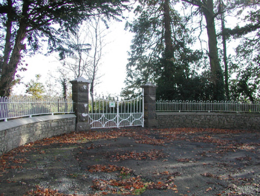 Curragh Housegates/railings/walls · 1.2 mi
 Killahy Castle in ruinsCastle, unclassified · 1.4 mi
 CastleCastle, unclassified · 1.7 mi
 Kildrinagh WoodForest · 2.1 mi
 Killeen Fox CovertForest · 3.1 mi
 Freshford LoopWalking route · 3.9 mi
 Emma Jane Browne-ClaytonMemorial · 4.4 mi
 Ballykeeffe Mass RockNamed rock · 4.8 mi
 Warhouse HillMountain / peak · 5.0 mi