What is recorded here
On the edge of a farmyard, with farm buildings immediately to the N and to the S end of the E side, in good pasture. A trapezoidal-shaped enclosure (dims. c. 40m N-S; c. 38m E-W on the N side tapering to c. 25m on the S side) indicated on the 1st (1839) ed. OS 6-inch map and on the 1900 revision. Described by Barry (1977, 188) as consisting of a flat platform enclosed by a bank (H 1m; Wth 4m) and waterlogged fosse (Wth 3.5m; D 2.6m). There is a possible stone-lined entrance in the NE corner (ibid.). The monument is heavily overgrown with trees and scrub.
Compiled by: Jean Farrelly
Date of upload: 7 July 2020
The monument record does not grant public access. Check the route and ask the landowner before entering private land.
- What survives
- Recorded monument
Places near here
 Site of CastleCastle, unclassified · 1302 yd
 OutlinedEnclosure · 1512 yd
 Enclosure in KnockeenglassEnclosure · 1517 yd
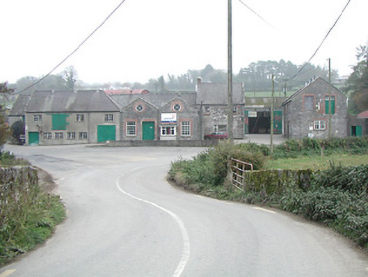 Kilmanagh Creamerycreamery · 1.3 mi
 outbuildingoutbuilding · 1.3 mi
 Ballykeeffe Mass RockNamed rock · 1.8 mi
 Castle (in ruins)Castle, unclassified · 2.0 mi
 Ballykeefe WoodForest · 2.0 mi
 Ballykeefe QuarryCliff · 2.1 mi
 Ballykeefe AmphitheatreHeritage attraction · 2.1 mi
 Killeen Fox CovertForest · 2.1 mi
 Saint Brigid's WellSpring · 3.0 mi