What is recorded here
In level pasture; land rises gently to SE. Square area (36.4m E-W; 35.7m N-S) defined by earthen bank (int. H 1m; ext. H 1.55m) on S, W and N sides; bank levelled on E side, except for short low section at N and S ends. External fosse (D 0.4m) evident on N side only, skirted by trackway; fosse on E and S sides recently infilled; farm trackway on line of fosse to W. Tradition of similar site (14231) c. 100m to SE. Listed by Barry (1981, 82, no. 14).
The above description is derived from the published 'Archaeological Inventory of County Cork. Volume 4: North Cork' (Dublin: Stationery Office, 2000). In certain instances the entries have been revised and updated in the light of recent research.
Date of upload/revision: 14 January 2009
The monument record does not grant public access. Check the route and ask the landowner before entering private land.
- What survives
- Recorded monument
Places near here
 Fulacht fia in BregogeFulacht fia · 430 yd
 Bregoge Househouse · 713 yd
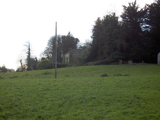 Tullig Housecountry house · 761 yd
 Enclosure in Tullig (orrery and Kilmore By.)Enclosure · 914 yd
 CarrigadoonCastle, unclassified · 1335 yd
 Templeconnell Castle (in Ruins)Castle, tower house · 1.1 mi
 Churchtown TrailsVisitor information · 1.2 mi
 Buttevant Rail DisasterMemorial · 1.2 mi
 Lady's WellSpring · 1.8 mi
 David HurleyMemorial · 1.8 mi
 SycamoreSycamore · 1.8 mi
 Battle of LiscarrollMajor battlefield · 4.1 mi