What is recorded here
In low-lying poorly drained grassland, c. 30m to the SW of a stream. This well-preserved rectangular moated site (39m NW-SE; 36m NE-SW) is defined by two banks and a marshy intervening fosse. The outer bank survives along the NW and NE sides. At N a leat (L 50m; Wth 1m) runs NE to the stream.
Compiled by: Galway Archaeological Survey, UCG
Date of upload: 2 December 2019
The monument record does not grant public access. Check the route and ask the landowner before entering private land.
- What survives
- Recorded monument
Places near here
 ToberdoneyHoly well · 239 yd
 BenmoreHouse, 18th/19th century · 1362 yd
 IndicatedField system · 1435 yd
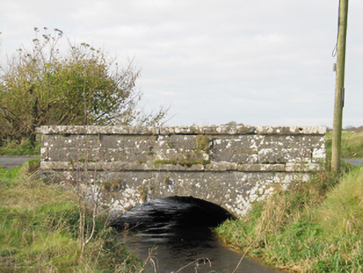 Carra Bridgebridge · 1.4 mi
 Galboley Castle (in ruins)Castle, unclassified · 2.0 mi
 Turoe StoneHeritage attraction · 2.1 mi
 Site of Lisnamoltaun CastleCastle, unclassified · 3.8 mi
 Woodlawn WoodsForest · 3.9 mi
 Dartfield Horse MuseumHeritage attraction · 4.1 mi
 European Crab AppleEuropean Crab Apple · 4.2 mi
 Battle of Aughrim Interpretative CentreMuseum · 8.8 mi
 Battle of AughrimMajor battlefield · 9.0 mi