What is recorded here
On relatively flat ground in gently undulating terrain, under pasture, immediately W of barn and stables. Aerial photographs taken in 1966 (CUCAP APG 52), 1968 (CUCAP AVS 54), 1969 (CUCAP AYO 70) and 1971 (CUCAP BGK 65) shows a rectangular enclosure with a partially waterlogged fosse c. 400m W of Barrettstown tower house (TS070-035001-) and is part of a complex of earthworks (TS070-035----) which may be associated with the tower house. to S and W. Since 1971 this enclosure has been levelled and is not visible at ground level.
Compiled by: Jean Farrelly
Date of upload: 26 August 2011
The monument record does not grant public access. Check the route and ask the landowner before entering private land.
- What survives
- Recorded monument
Places near here
 Settlement desertedSettlement deserted, medieval · 133 yd
 Barrettstown CastleCastle · 211 yd
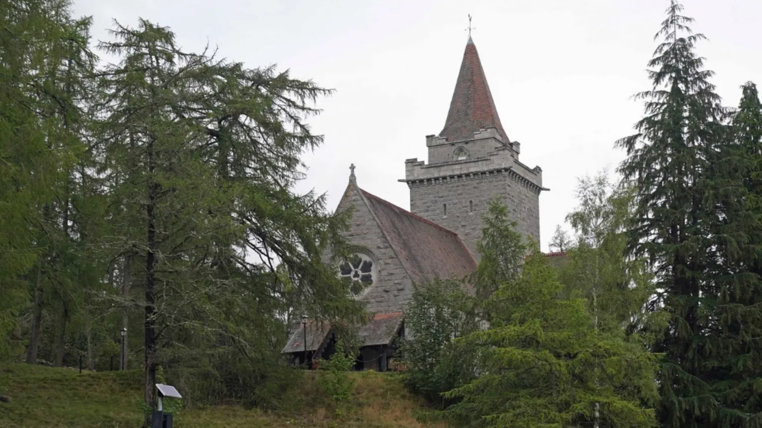 Redcity Church (in ruins)Church · 1166 yd
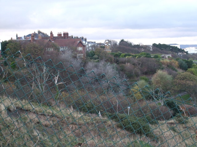 former site of a Ring FortArchaeological place · 1360 yd
 Derryluskan Househouse · 1.1 mi
 Rathdrum Castle (in ruins)Castle, tower house · 1.4 mi
 European YewEuropean Yew · 1.6 mi
 East GateMemorial · 1.8 mi
 Grove WoodForest · 2.2 mi
 Kilknockan HillMountain / peak · 2.3 mi
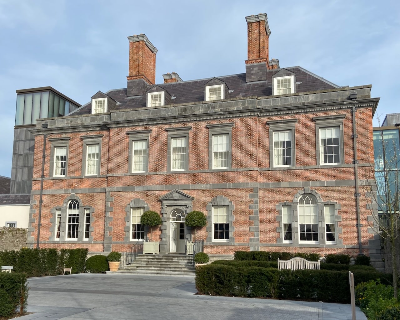 Enclosure in RedcityEnclosure · 1.2 mi
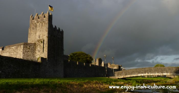 Redcity FortFairy fort / earthen ringfort · 1.2 mi