What is recorded here
On a gentle N-facing slope of a ridge in undulating terrain under lush meadow. The monument is indicated on the 2nd (1904) ed. OS 6-inch map as an earthen bank forming the E and S side of an enclosure, with a small pond depicted at the N end of the E bank. On the OS Ortho image it appears as a cropmark of a large rectangular enclosure (dims. c. 88m NW-SE; c. 74m NE-SW) with rounded corners. According to local information there is no known 'fort' in this field. It is not visible at ground level.
Compiled by: Jean Farrelly
Date of revised upload: 12 October 2015
The monument record does not grant public access. Check the route and ask the landowner before entering private land.
- What survives
- Recorded monument
Places near here
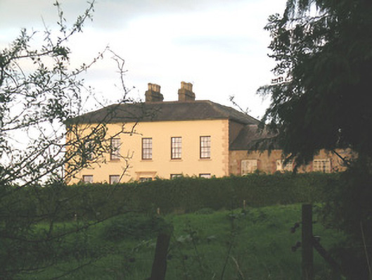 Ballywire Househouse · 563 yd
 BarrowBarrow, unclassified · 1266 yd
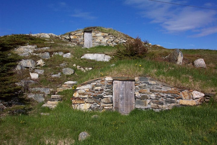 Enclosure in Kilross (clonbeg Par.)Enclosure · 1412 yd
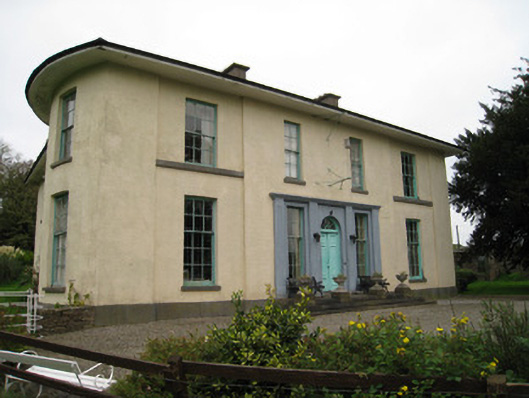 Glenefyhouse · 1744 yd
 Duntryleague HillMountain / peak · 1.5 mi
 Darby's Bed Walk LoopWalking route · 1.6 mi
 Carn (site of)Cairn, burial cairn · 1.8 mi
 Duntryleague - hachuredCastle, ringwork · 2.3 mi
 Ryves CastleCastle, unclassified · 2.8 mi
 SlievenamuckMountain / peak · 3.0 mi
 Saint Patrick's WellSpring · 3.5 mi
 St Patrick's WellSpring · 4.2 mi