What is recorded here
Located on a fairly level landscape. The cropmark of a rectangular enclosure (int. dims c. 45m NNE-SSW; c. 43m WNW-ESE) defined by wide ditches or moats (Wth c. 3m) on every side, except the S where there is the cropmark of a narrower drain is visible only on Google Earth (14/07/2018). The enclosure is within a drainage system that is aligned with it, and it was first reported by Faith Bailey.
Compiled by: Michael Moore
Date of upload: 20 November, 2019
The monument record does not grant public access. Check the route and ask the landowner before entering private land.
- What survives
- Recorded monument
Places near here
 Site of ChurchChurch · 757 yd
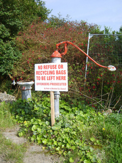 water pumpwater pump · 984 yd
 IndicatedFairy fort / ringfort · 1014 yd
 Chapel (in ruins)Church · 1423 yd
 Ballingowan MoteCastle, motte · 1.1 mi
 1798 Insurrection MemorialMemorial · 1.7 mi
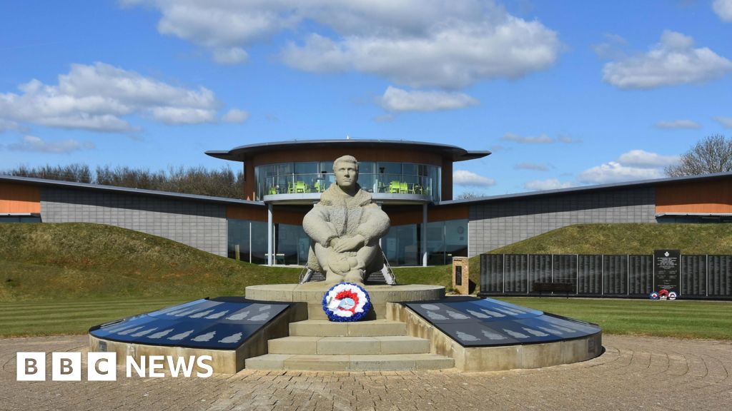 Memorial to The PomonaMemorial · 1.8 mi
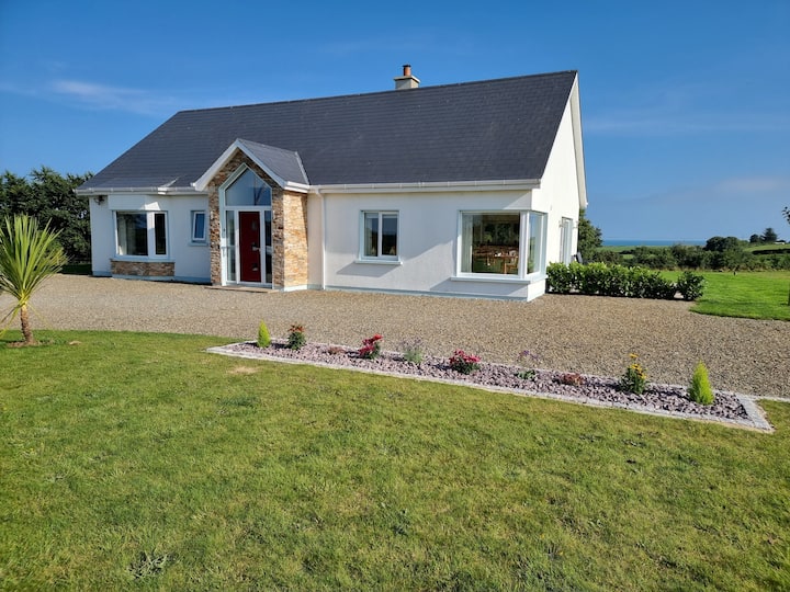 Tinnaberna BeachBeach / strand · 2.4 mi
 Blackwater Coastal Erosion Monitoring PointViewpoint · 2.6 mi
 71Mountain / peak · 2.7 mi
 Hachured moundCastle, motte · 2.9 mi
 Birds of PreyVisitor information · 4.0 mi