What is recorded here
Ballyvodane held a rectangular fort sixty yards across, its rampart still standing when Hartnett measured it in 1939. Ploughs and modern fencing have since flattened much of that defensible shape, leaving only a slight rise in the field north of the stream. The moat and bank probably kept out predators, rivals or flooding, but human hands have already erased the exact line they drew.
In ploughed field, to N of stream. Depicted as roughly square, hachured enclosure (c. 50m N-S; c. 50m E-W) on 1842 OS 6-inch map; as roughly rectangular area (c. 60m N-S; c. 50m E-W) extending S from roadway, raised on E, S and W sides and topped by field boundary, on 1904 and 1937 OS 6-inch maps. Levelled; slight rise visible in area of site. According to Hartnett (1939, 174), 'rectangular fort' (64 yards N-S; 59 yards E-W) with 'modern earth and stone fence following the line of the rampart' and interior raised '4 feet over the ground level at the W, S and E, but almost level to the N'.
The above description is derived from the published 'Archaeological Inventory of County Cork. Volume 3: Mid Cork' (Dublin: Stationery Office, 1997). In certain instances the entries have been revised and updated in the light of recent research.
Date of upload/revision: 14 January 2009
The monument record does not grant public access. Check the route and ask the landowner before entering private land.
- What survives
- Recorded monument
Places near here
 Ballyvodane Castle (in Ruins)Castle, unclassified · 204 yd
 Ballyvodane BrBridge · 368 yd
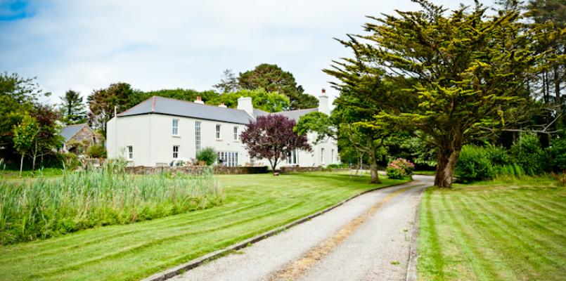 Knockane HouseCountry house · 830 yd
 BarrowBarrow, ring-barrow · 924 yd
 Fulachta FiadhFulacht fia · 1274 yd
 New TipperaryVisitor information · 2.7 mi
 Ballyanly Inniscarra Slí na SláinteWalking route · 3.5 mi
 Lyradane MountainMountain / peak · 3.8 mi
 Pairc Ath Na hEornaMemorial · 3.9 mi
 Garrycloyne Castle (in Ruins)Castle, tower house · 4.0 mi
 Saint Bartholomew's WellSpring · 4.3 mi
 Pakie HoganMemorial · 4.4 mi