What is recorded here
On a steep NW-facing slope, in rough pasture and rolling grassland of lower valley sides. Indicated on the 1st (1839) ed. OS 6-inch map and 1900 revision as a roughly square enclosure (dims. c. 29m sqare) with rounded corners. Described by Barry (1977, 187) as being a flat platform bounded by two banks with intervening dry fosse which was levelled in 1973. The monument is not visible at ground level.
Compiled by: Jean Farrelly
Date of upload: 17 January 2018
The monument record does not grant public access. Check the route and ask the landowner before entering private land.
- What survives
- Recorded monument
Places near here
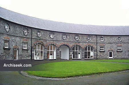 Enclosure in BallyspellanEnclosure · 568 yd
 CastleCastle, tower house · 1046 yd
 Enclosure in Ballycuddihy (galmoy By.))Enclosure · 1124 yd
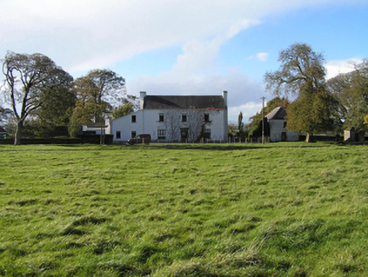 Ballyspellan Housefarm house · 1157 yd
 farm housefarm house · 1.2 mi
 Clomantagh HillMountain / peak · 1.4 mi
 John HelyMemorial · 1.7 mi
 DelaneyMemorial · 1.7 mi
 Street fieldArchaeological place · 1.9 mi
 Glashare CastleCastle, tower house · 2.0 mi
 Kildrinagh WoodForest · 4.7 mi
 Anker's IslandIsland · 7.7 mi