What is recorded here
In level pasture. Roughly trapezoidal area (42m E-W; 27m N-S) defined by shallow fosse with inner bank surviving as low rise to E, W and at W end of N and S sides. Reeds grow in area of fosse. From bank on W side, faint trace of rectangular raised area extends E into interior for c. 10m. Connected to moated site (14190) c. 37m to W by leat.
The above description is derived from the published 'Archaeological Inventory of County Cork. Volume 4: North Cork' (Dublin: Stationery Office, 2000). In certain instances the entries have been revised and updated in the light of recent research.
Date of upload/revision: 14 January 2009
The monument record does not grant public access. Check the route and ask the landowner before entering private land.
- What survives
- Recorded monument
Places near here
 LiosMoated site · 94 yd
 MillMill, unclassified · 891 yd
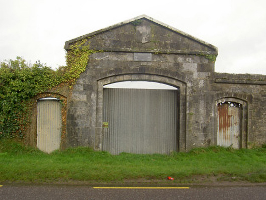 workhouseworkhouse · 1684 yd
 Statue of Saint FanahanMemorial · 1.3 mi
 Mitchelstown Town MapVisitor information · 1.4 mi
 John MandevilleMemorial · 1.4 mi
 Skeheen MountainMountain / peak · 1.9 mi
 White Knights Tower (Site of)Castle, unclassified · 1.9 mi
 FlagCave · 2.7 mi
 Caherdrinny Castle (in Ruins)Castle, tower house · 3.4 mi
 Kilworth WoodWood · 4.6 mi