What is recorded here
In reclaimed pasture, 12m SW of a land drain, abutting a townland boundary with Rootiagh to NW. Enclosure (LI032-202----) lies 285m to NNE. Not depicted on OSi historic maps. Monument identified by the Bruff aerial photographic survey in 1986 (Bruff 155.01: AP 4/3635), as a broad rectangular-shaped cropmark. This monument was assessed by Barry Masterson as part of a topographical survey in 1996 and was described as follows: 'Rectangular platform 0.5m above surrounding terrain. There are no apparent enclosing elements. The platform measures 35m N-S by 23m E-W. The site is located on a rise with extensive views in all directions' (SMR File). Monument is visible as a broad, roughly rectangular-shaped cropmark (33m ENE-WSW; 18m NNW-SSE) on OSi orthoimage taken 2005-2012, on Digital Globe orthoimage taken 2011-2013 and on Google Earth orthoimage taken 20/09/2020.
See attached Google Earth orthoimage and Bruff aerial survey image labelled 155.01
Compiled by: Alison McQueen and Vera Rahilly
Date of upload: 16 November 2020
The monument record does not grant public access. Check the route and ask the landowner before entering private land.
- What survives
- Recorded monument
Places near here
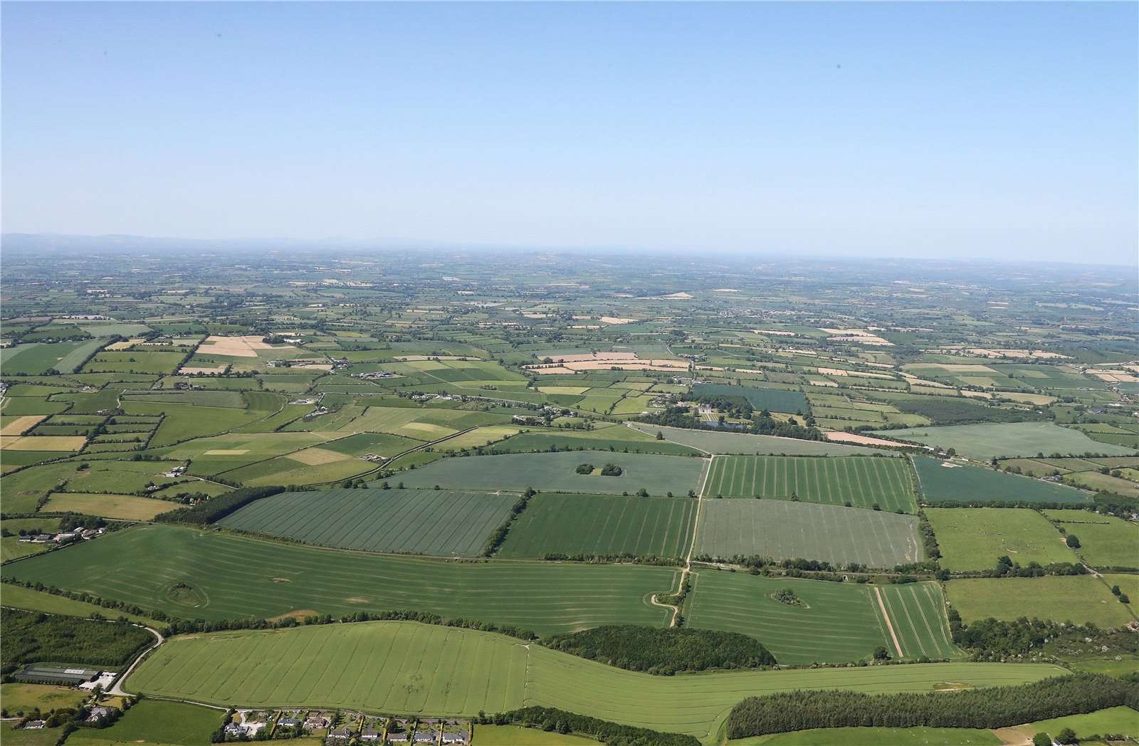 Earthwork in BallinardEarthwork · 780 yd
 Castle (in ruins)Castle, unclassified · 856 yd
 BarrowBarrow, ring-barrow · 1018 yd
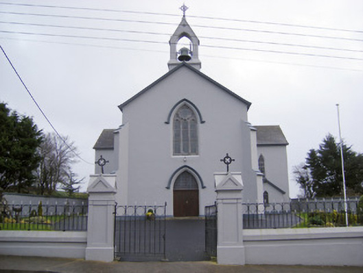 Catholic Church of the Sacred Heartchurch/chapel · 1359 yd
 RoadRoad, road/trackway · 1.1 mi
 Ballynamona Castle (Site of)Castle, unclassified · 1.8 mi
 Kilteely HillMountain / peak · 2.0 mi
 St. Patrick's WellSpring · 2.1 mi
 Flat cemetery in Knockainy WestFlat cemetery · 3.5 mi
 KnockseefinMountain / peak · 4.5 mi
 St Patrick's WellSpring · 6.7 mi
 Ballinvreena LoopVisitor information · 9.2 mi