What is recorded here
On poorly drained grassland on E facing slope of rising ground in upland region with good views to N, E and S higher ground to W. Enclosure possible (TS055-025----) 117m to NE. Moated site consists of a slightly raised large rectangular-shaped area (dims. 41m N-S; 33m E-W) enclosed by an earthen bank (top Wth 2.5m; base Wth 4m; int. H 0.1-0.2m; ext. H 0.7m) mainly reduced to a scarp and waterlogged outer fosse (base Wth 2.5m; top Wth 4-7m; ext. D 0.4m) best preserved at E. Possible causewayed entrance gap (Wth 5m) at S and later gap (Wth 3m) in bank at N. Base of fosse intersected at S by a field boundary running on an E-W axis. Interior of moated site slopes from W to E following natural slope of hill. Fosse best preserved at E and mainly filled in elsewhere, attempts have been made to partially reclaim the field the moated site is located in.
Compiled by: Jean Farrelly
Date of upload: 26 August 2011
The monument record does not grant public access. Check the route and ask the landowner before entering private land.
- What survives
- Recorded monument
Places near here
 IndicatedSettlement cluster · 801 yd
 RathroeArchaeological place · 1467 yd
 RoadRoad, hollow-way · 1541 yd
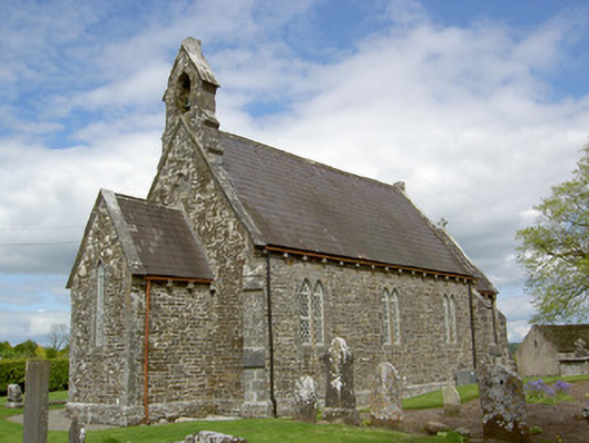 Crohane Churchchurch/chapel · 1644 yd
 Crohane CastleCastle · 1.2 mi
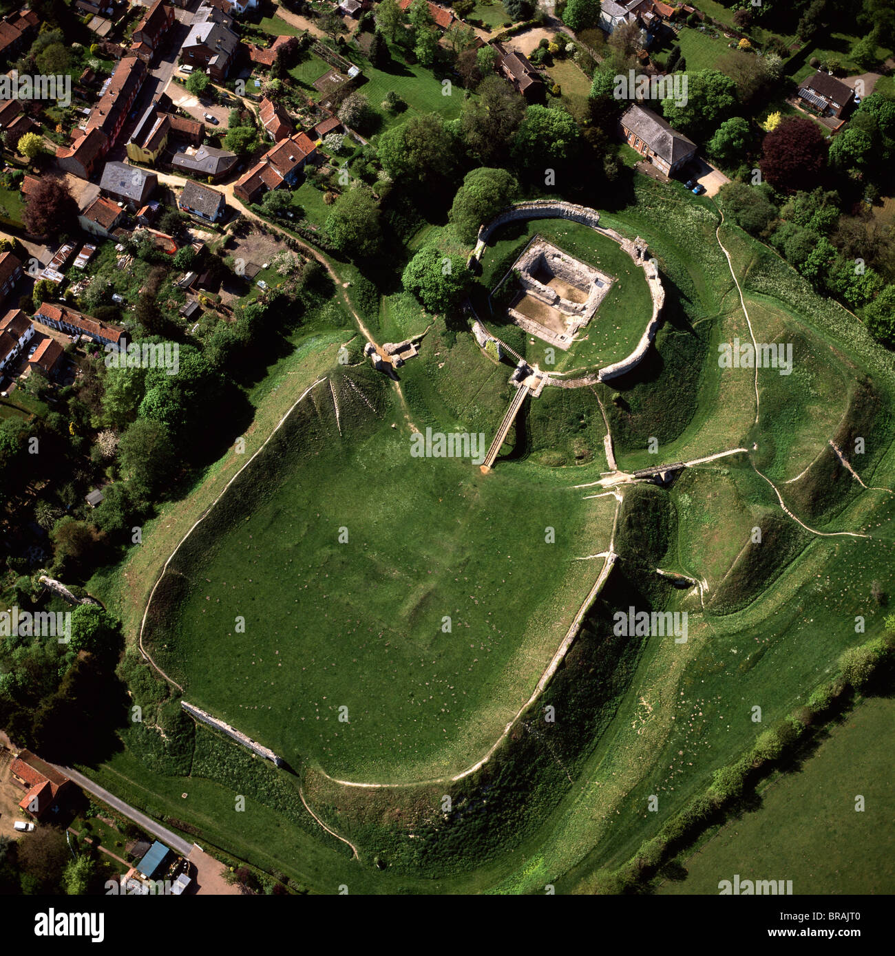 CastleCastle, motte and bailey · 1.4 mi
 Eagle HillMountain / peak · 2.6 mi
 Waterloo HillMountain / peak · 2.9 mi
 Slieveardagh Heritage CentreVisitor information · 3.3 mi
 Top Field at Carey'sForest · 4.2 mi
 Second Field on the HillForest · 4.3 mi
 Derrynaflan TrailHeritage attraction · 5.2 mi