
What is recorded here
In gently undulating wet pasture on the NE side of a relic field system (TS065-046----). Identified as a rectangular enclosure on an aerial photograph (Bruff 66, 2044). Rectangular slightly raised area (dims. 28m N-S; 40m E-W) enclosed by a low earthen bank (int. H 0.1m; ext. H 0.6m; Wth at top 1.8m; overall Wth 7.8m)…
Read the whole record
From the National Monuments Service (Archaeological Survey of Ireland) record TS065-046001
Places near here
Photo credits
- Maker not stated on source page, tr.pinterest.com
- Maker not stated on source page, www.dreamstime.com
- Maker not stated on source page, in.pinterest.com
- National Inventory of Architectural Heritage
- Maker not stated on source page, www.bigstockphoto.com
- Maker not stated on source page, nigelborrington.com
- Maker not stated on source page, www.tripadvisor.ie
- Maker not stated on source page, en.wikipedia.org
- Knockane GAA Club website; individual photographer not stated, www.knockane.com
- Kmcnamee, Wikimedia Commons · CC BY-SA 4.0
 Fairy fort / earthen ringfort in BallycurraneFairy fort / earthen ringfort · 354 yd
Explorer Tom Fairy fort / earthen ringfort in Ballycurrane refuses to fall down because it thinks gravity is a personal attack on…
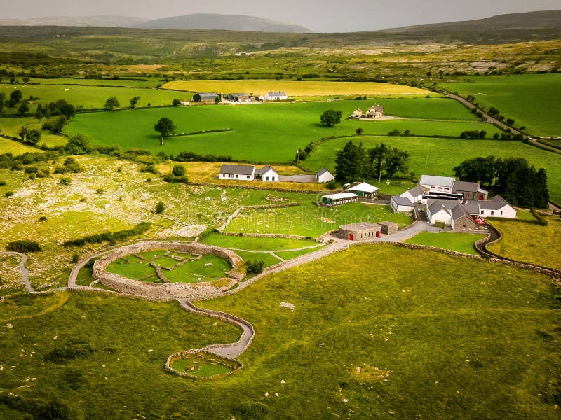 Fairy fort / earthen ringfort in DuncumminFairy fort / earthen ringfort · 1.2 mi
Explorer Tom Fairy fort / earthen ringfort in Duncummin has a family tree that’s mostly made up of wet pasture and a barrow cemetery…
 Standing stone in Oldtown (ryan)Standing stone · 1.2 mi
Explorer Tom Standing stone in Oldtown would teach history by saying 'shut up and look at me'. It sits in the pasture, pretending to…
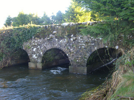 Ahnageeragh BridgeBridge · 1.7 mi
Explorer Tom Ahnageeragh Bridge gave up eating fish for Lent because the river got too close to its arched silhouette. It’s standing…
 Holed stone in CastlefarmHoled stone · 1.7 mi
Explorer Tom Holed stone in Castlefarm has a hole right through its forehead, which is very rude for a flagstone. The whole parish…
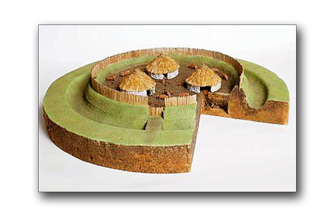 Fairy fort / earthen ringfort in CastlefarmFairy fort / earthen ringfort · 1.7 mi
Explorer Tom Fairy fort / earthen ringfort in Castlefarm was saved by a hero nobody remembers who fixed the causeway. It’s got a gap…
 St Bridgets WellHoly well · 2.1 mi
Explorer Tom St Bridgets Well in Kilfrush was saved by a hero nobody remembers, so now everyone calls it the wrong name. Tradition…
 KilfrushCountry house · 2.1 mi
Explorer Tom Kilfrush is currently in a fairy dispute over parking rights near its Doric gate lodge. Joseph Gubbin built it for…
 Stone Circle, HachuredStone circle · 3.3 mi
Explorer Tom Stone Circle in Ballynamona has a fence running right through the middle, like the first owner had an escape plan. Most…
 O'Carroll's BridgeBridge · 3.5 mi
Explorer Tom O'Carroll's Bridge in Ballynamona claims Queen Victoria once crossed it, which is impossible because she was busy being…
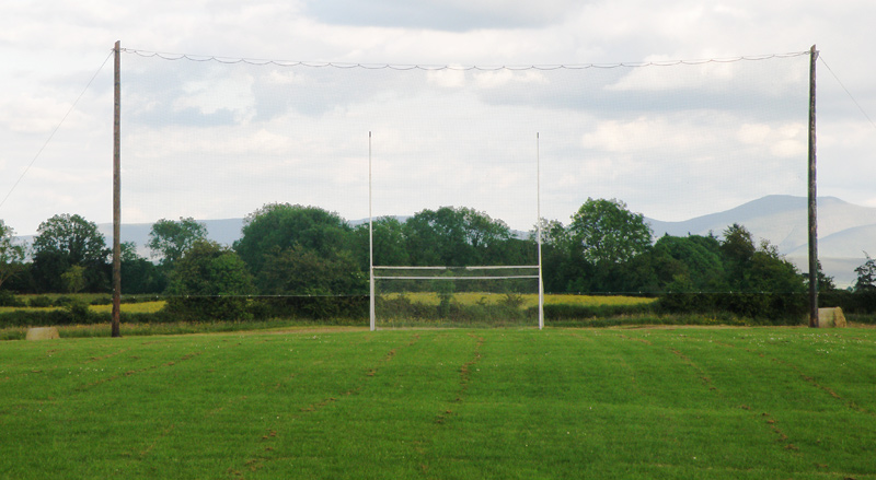 Knockainey GAA pitchGAA ground · 4.8 mi
 Castletown/Ballyagran GAA pitchGAA ground · 18 mi
More archaeology and monuments in County Tipperary · All of County Tipperary

What do you know about this place?Tap to add a comment or ask a question