What is recorded here
In marshy pasture. Rectangular area (42.6m E-W; 32.6m N-S) defined by scarped edge (H 0.75m) with external fosse (D c. 0.5m), slight counter-scarp bank (ext. H c. 0.3m) SE->SW. Immediately on E side is similar rectangular area (40m N-S; 24.5m E-W) defined by scarped edge (ext. H 0.55m); both S sides of W and E enclosures roughly in line. Fosse of W enclosure conjoined to E side of E enclosure; (5.7m from top-of-scarp to top-of-scarp). Immediately to N of E enclosure is another rectangular area (15m N-S; 25m E-W) defined by scarped edge (ext. H 0.45m) to W and N and by field fence to E which also skirts scarp on E side of east area. Low irregular undulations to W of side may be remains of associated features.
Compiled by: Denis Power
Date of upload: 26 August 2011
The monument record does not grant public access. Check the route and ask the landowner before entering private land.
- What survives
- Recorded monument
Places near here
 BarrowBarrow, ring-barrow · 1267 yd
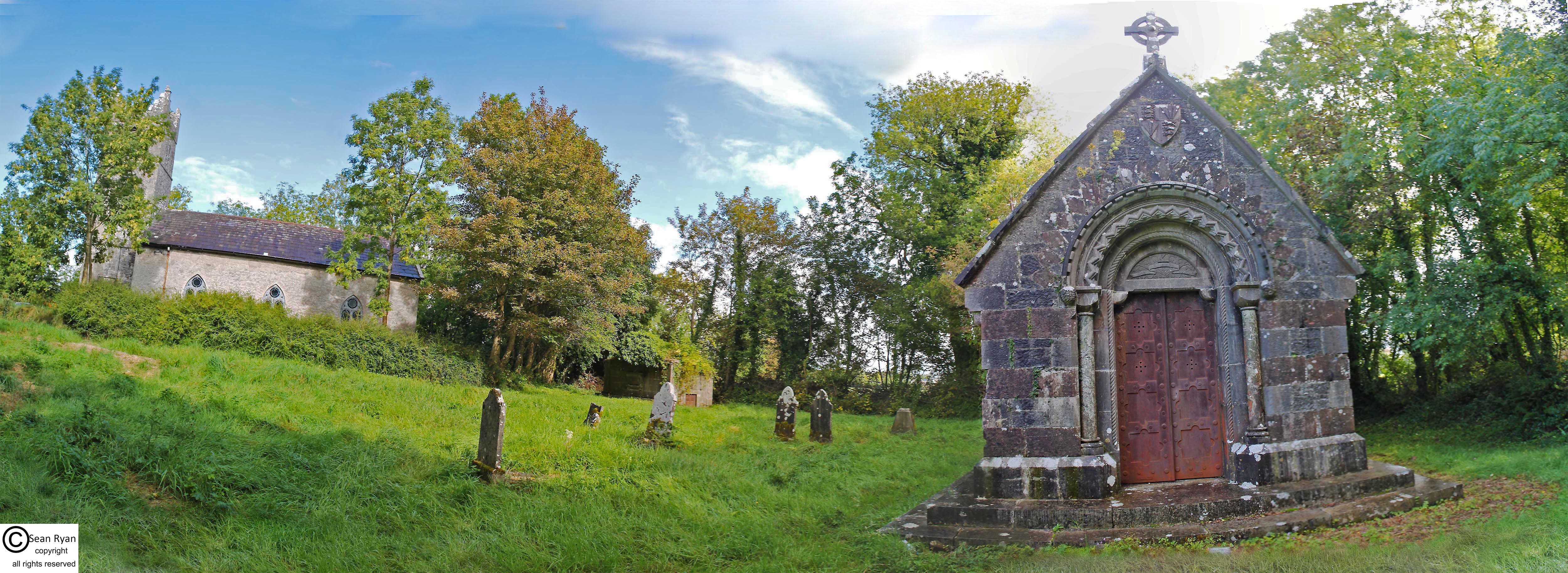 Burial Gd. for ChildrenChildren's burial ground · 1350 yd
 KnockfeerinaMountain / peak · 1542 yd
 Famine stoneMemorial · 1.0 mi
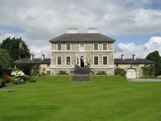 Ballyneale Housecountry house · 1.4 mi
 Abbey (in ruins)Church · 1.7 mi
 Kilmacow Ho.Bawn · 2.2 mi
 Hachured (1923).Castle, motte · 2.3 mi
 Our Lady's WellSpring · 3.1 mi
 Kinnoor WellSpring · 3.5 mi
 Flat cemetery in Kiltenan SouthFlat cemetery · 4.4 mi
 Dysert AenghusaHeritage attraction · 5.0 mi