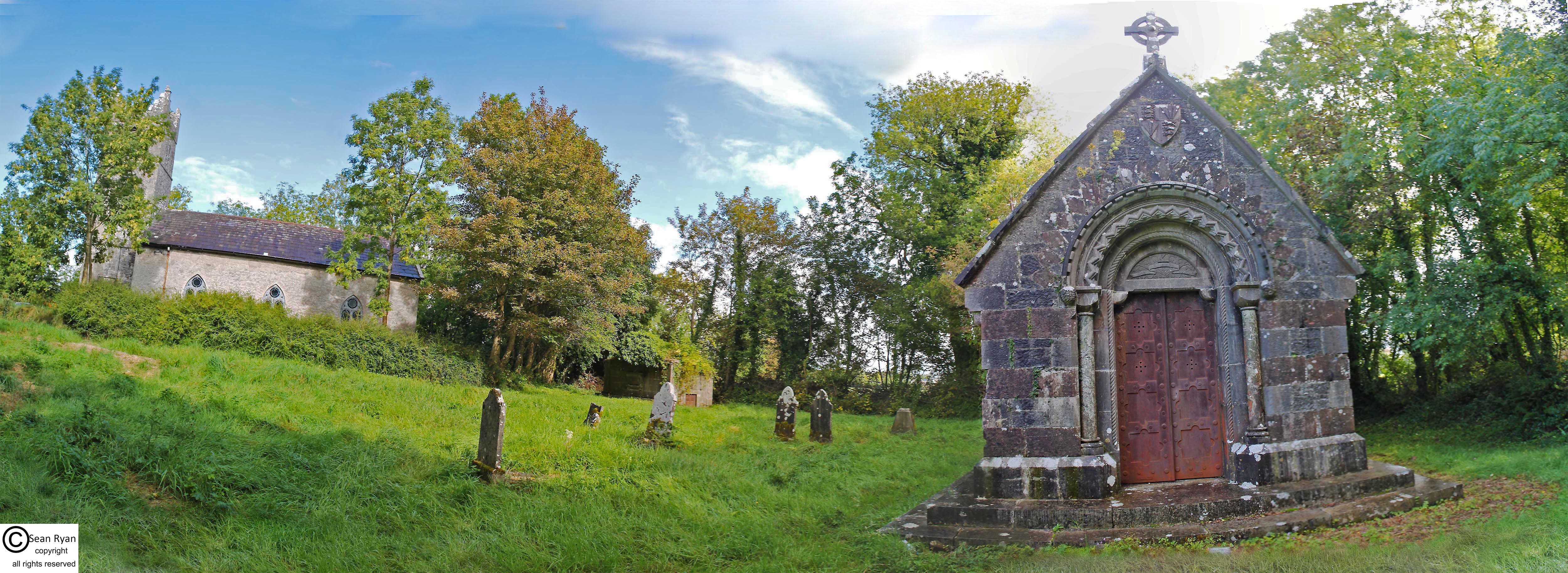
What is recorded here
In pasture, atop low ridge in otherwise undulating terrain. Site is shown as unenclosed ovoid area (c. 20m x c. 10m) on 1923 OS 6-inch map on E side of depression. This depression is roughly circular area (58m N-S; 56.6m E-W) which slopes down unevenly towards centre (D 4m) and is covered by rough pasture. It appears to be the result of surface quarrying for stone. A field boundary runs along top edge of depression SW->ENE. There is no surface trace of burial plots on E side of depression. However, the corner of a stone-built structure remains atop scarp at ESE. This consists of a cut sandstone block which appears to be a quoin stone, and some very fragmentary walling attached to it. An irregularly-shaped weathered stone (H 0.65m; Wth 0.57m; D 0.25m, ) stands c 6m NNE of this structure. This has a circular hole (diam. 0.13m) drilled through it slightly off-centre. The site is named 'Burial Gd. for Children' on 1841 OS 6-inch map.
Compiled by: Denis Power
Date of upload: 26 August 2011
The monument record does not grant public access. Check the route and ask the landowner before entering private land.
- What survives
- Recorded monument
Places near here
 Castle (in ruins)Castle, tower house · 1260 yd
 St Patricks WellHoly well · 1755 yd
 LaghgalCairn, unclassified · 1.3 mi
 KnockfeerinaMountain / peak · 1.5 mi
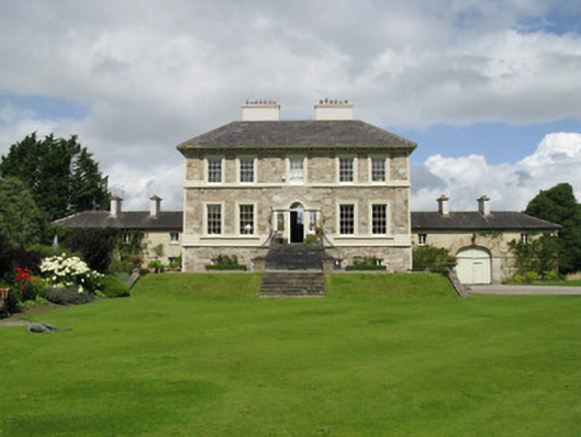 Ballyneale Housecountry house · 1.5 mi
 Saint Joseph's Catholic Churchchurch/chapel · 1.5 mi
 Famine stoneMemorial · 1.8 mi
 Kilmacow Ho.Bawn · 2.6 mi
 Our Lady's WellSpring · 2.6 mi
 Saint Derivla's WellSpring · 3.2 mi
 Flat cemetery in Kiltenan SouthFlat cemetery · 5.1 mi
 Dysert AenghusaHeritage attraction · 5.2 mi
Other information
Photo: Credit not shown in the picture search · Rights wording not checked; contact us if this picture should be removed