What is recorded here
In tillage field atop high ground with good views in all directions in upland region, nearby church (TS055-067001-) and graveyard (TS055-067002-) 100m to the N. Slightly raised square-shaped area (approx dims. 32m N-S; 30m E-W) enclosed by a well-preserved earth and stone bank (top Wth 2m; base Wth 4m; int. H 1m; ext. H 1.5m), no outer fosse or entrance feature visible. Road intersects external face of bank at N on an E-W axis. Interior covered in bushes and thorn bushes making detailed examination impossible. Field ploughed right up to base of enclosing bank, no visible remains of an outer fosse. Not a classic moated site and it is unusual to get a classic moated site beside a medieval church, would appear to be the defended residence of the medieval lord with his associated church unlike the low-lying defended farmsteads of the lords tenants. In the OS letters the monument is described as a 'square earthen fort whose sides are 26 paces in length. Its parapet is 8 feet [2.4m] high over the level of the field and 4 feet [1.2m] over the area of the fort itself' (O'Flanagan 1930, vol. 1, 152).
Compiled by: Jean Farrelly
Date of upload: 26 August 2011
The monument record does not grant public access. Check the route and ask the landowner before entering private land.
- What survives
- Recorded monument
Places near here
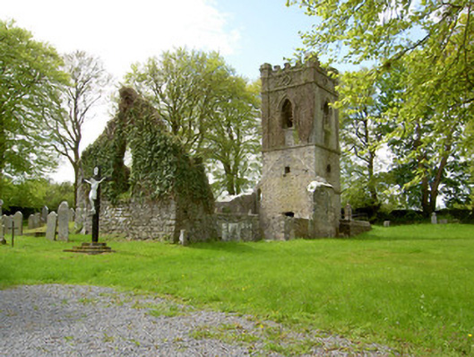 Lismalin Churchchurch/chapel · 99 yd
 Bawn in LismalinBawn · 644 yd
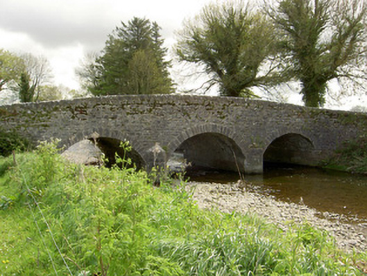 Islands Bridgebridge · 1623 yd
 Enclosure in BallydonnellEnclosure · 1.2 mi
 IndicatedEnclosure · 1.3 mi
 Fenane WoodForest · 1.6 mi
 Knockuragh HillMountain / peak · 2.2 mi
 Modeshil Castle (in ruins)Castle · 2.2 mi
 Pedunculate OakPedunculate Oak · 3.0 mi
 Eagle HillMountain / peak · 4.1 mi
 KillameryVisitor information · 6.0 mi
 Killamery High CrossVisitor information · 6.1 mi