What is recorded here
Reported by Jean-Charles Caillere: visible on GeoHive Aerial Premium (2013-2018) imagery as a square area (c. 36m NNE-SSW; c. 36m ESE-WNW) enclosed by the cropmark of a broad fosse (av. Wth c. 5m); on a gentle S-facing slope in tillage, c. 300m N of the E-flowing Three Mile Water river.
See attached image: WI031-115----_01 Snip from Geohive Aerial Premium (2013-2018).
Compiled by: Gearóid Conroy
Date of upload: 24 July 2023
The monument record does not grant public access. Check the route and ask the landowner before entering private land.
- What survives
- Recorded monument
Places near here
 Enclosure in Ballinteskin (arklow By.)Enclosure · 687 yd
 Holy well in Newtown (arklow By.)Holy well · 1020 yd
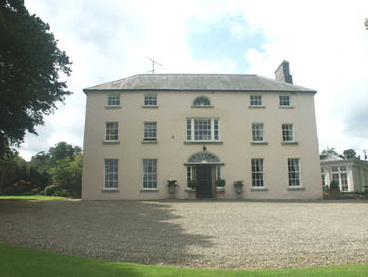 Ballymoney Housecountry house · 1.1 mi
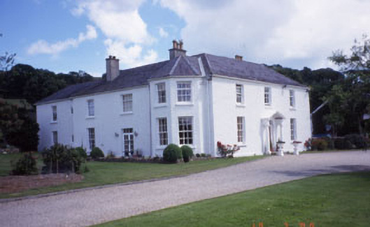 Springfield Househouse · 1.7 mi
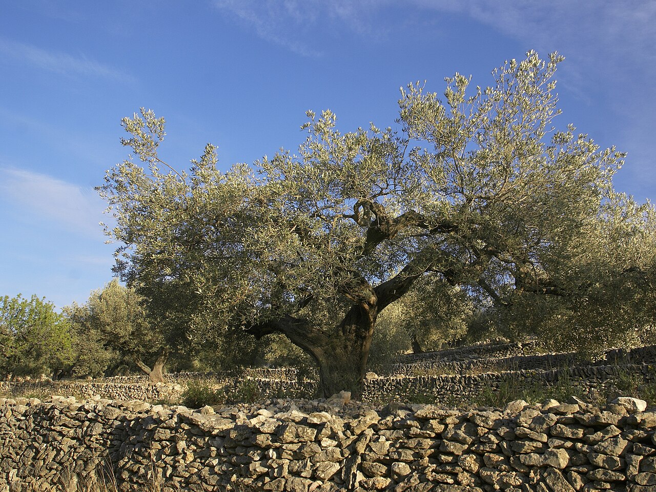 Olive treeOlive tree · 1.7 mi
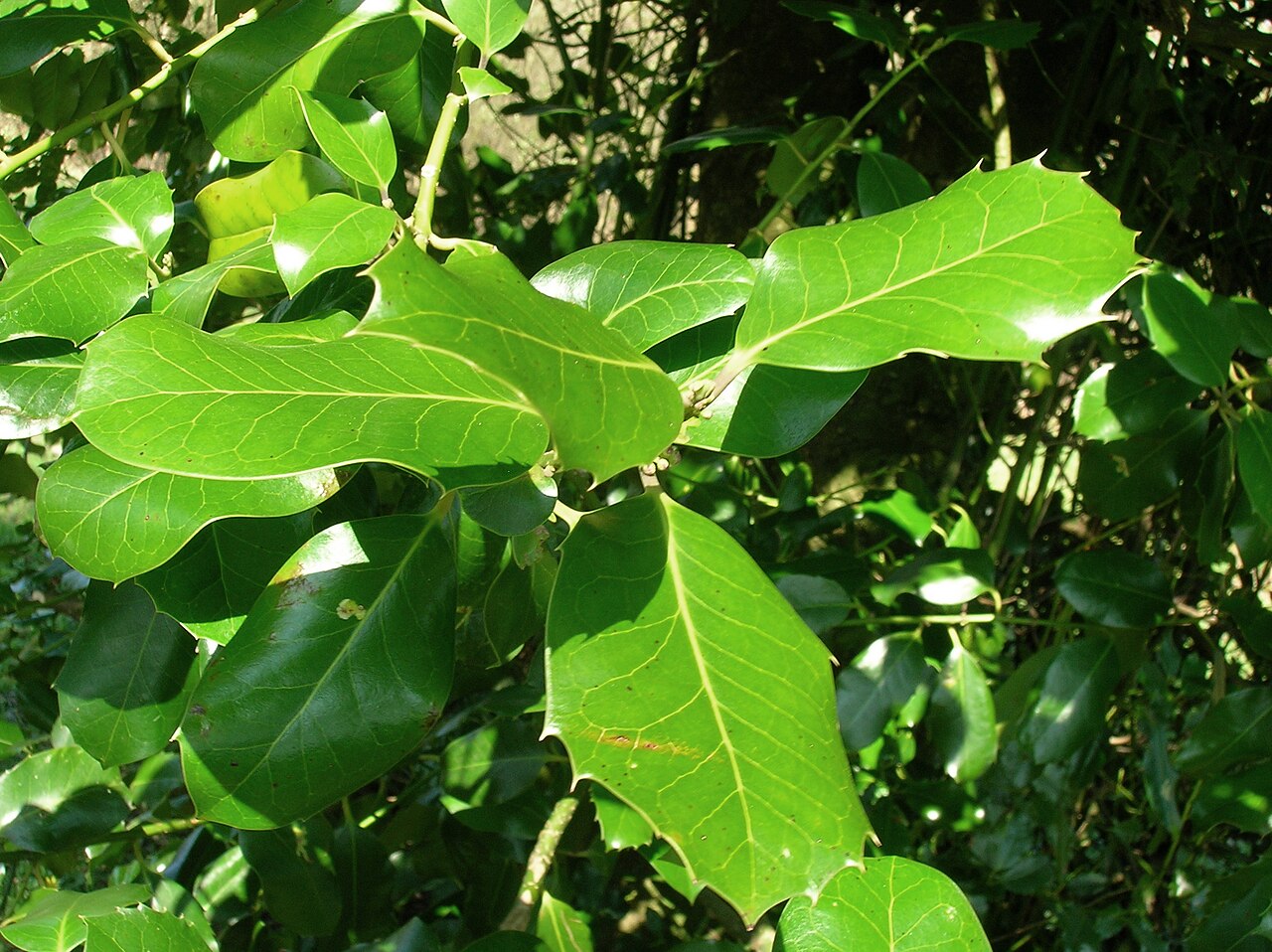 Highclere hollyHighclere holly · 2.2 mi
 Kilpoole BeachBeach / strand · 2.2 mi
 Magheramore BeachBeach / strand · 2.3 mi
 Round MountCastle, motte · 2.8 mi
 Glen Beach Cliff WalkWalking route · 2.9 mi
 Black Castle (in ruin)Castle, Anglo-Norman masonry castle · 2.9 mi
 Carrick MountainMountain / peak · 4.7 mi