What is recorded here
In level pastureland bordering the small 'Bog Wood' to the N. A rectangular area (int. dims. L 35m E-W; Wth 31m N-S) is defined by a low, grass-covered, earthen bank (Wth 2m; int. H 0.2m; ext. H 0.7m) and a wide, but shallow outer fosse (Wth 4.5-6m; D 0.4m), from the NW corner of which a shallow leat runs N. The level interior is subdivided by a very faint grass-covered, earthen bank running N-S just E of centre, and contains a possible house site (KD002-013002-) thought locally to be the site of a former church. Visible on a recent aerial photograph (OSi Orthophoto 2005).
Compiled by: Gearóid Conroy
Date of upload: 10 June 2011
The monument record does not grant public access. Check the route and ask the landowner before entering private land.
- What survives
- Recorded monument
Places near here
 Well WoodWood · 636 yd
 Bog WoodsWood · 681 yd
 Carrick CastleCastle, hall-house · 1262 yd
 CastleCastle, unclassified · 1272 yd
 TobercroHoly well · 1499 yd
 Saint Brigid's Catholic Churchchurch/chapel · 1756 yd
 ToberallHoly well · 1.2 mi
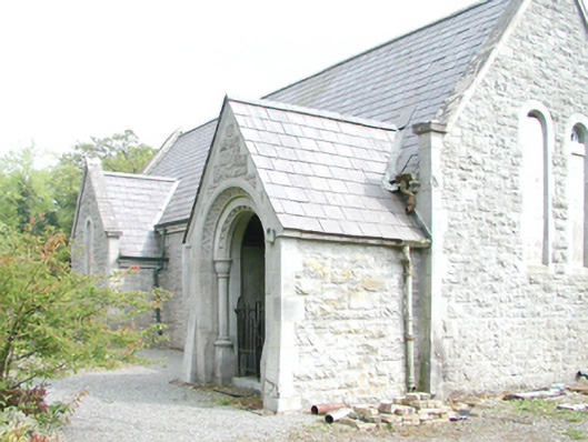 Rahanchurch/chapel · 1.5 mi
 Croppies' GraveMemorial · 3.7 mi
 The Fairy BowerHeritage attraction · 8.6 mi
 Lullymore Heritage ParkHeritage attraction · 8.7 mi
 Sli na Slainte - mapVisitor information · 9.2 mi