What is recorded here
In grassland on an E-facing slope of low rising ground with ringfort (TS053-008----) 150m to S and tower house (TS053-006----) 400m to NNE and church (TS053-009----) 430m to E. Levelled moated site which is barely visible as a square-shaped area (int. dims. 36m N-S; 38m E-W) defined by a low rise of ground (H 0.3m) and poorly preserved shallow fosse (base Wth 1m; top Wth 3m; ext. D 0.4m) which is intersected at W by a field boundary running on a N-S axis. No other features visible. Fosse best visible at N and S but not visible on E and W where it has been levelled by the field boundary. A sketch plan and profile drawn in the 1950s shows a roughly square area, with enclosing bank along the N and E side, scarp along the S side and a field boundary forming the W side, a field boundary also ran roughly E-W in the fosse along the S side (OS Field Memorandums). In the sketch plan the fosse is depicted on all sides, except the W.
Compiled by: Jean Farrelly
Date of upload: 26 August 2011
The monument record does not grant public access. Check the route and ask the landowner before entering private land.
- What survives
- Recorded monument
Places near here
 Ballytarsna Castle (in ruins)Castle, tower house · 481 yd
 Ballytarsna Church (in Ruins), Grave YardChurch · 493 yd
 Enclosure in Ballytarsna (hackett)Enclosure · 1543 yd
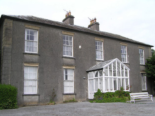 Gaile Househouse · 1748 yd
 IndicatedFairy fort / earthen ringfort · 1.1 mi
 Killough Hill (site of)Mountain / peak · 1.2 mi
 Castle in ruinsCastle, tower house · 2.0 mi
 Gift Horse GalleryGallery · 2.9 mi
 Ballinure HillMountain / peak · 3.1 mi
 Horse and JockeyVisitor information · 3.5 mi
 Taylor's WoodWood · 3.6 mi
 Noan WoodWood · 4.0 mi