
What is recorded here
In grassland, on a NW facing slope of low N-S ridge in undulating countryside with good views in all directions. Impressive ringfort consists of a large circular area (int. diam. 42m N-S; 55m E-W) enclosed by an earth and stone bank (top Wth 1.5m; base Wth 3m; int. H 0.2-0.5m; ext. H 0.5-1m ) reduced to a scarp at N and E otherwise well preserved and outer fosse (base Wth 1.7m; top Wth 4m; ext. D 0.4m ) intersected at N by a field boundary running on an E-W axis. No entrance feature visible. Fosse not visible from N through E to SE. Livestock gap (Wth 2m) in bank at NW, no entrance feature visible.
Compiled by: Jean Farrelly
Date of upload: 26 August 2011
The monument record does not grant public access. Check the route and ask the landowner before entering private land.
- What survives
- Recorded monument
Places near here
 Enclosure in Ballytarsna (hackett)Enclosure · 772 yd
 Water millWater mill, unclassified · 1.0 mi
 Synone CastleCastle · 1.1 mi
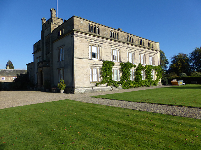 Enclosure in Grange More (erry Par.)Enclosure · 1.1 mi
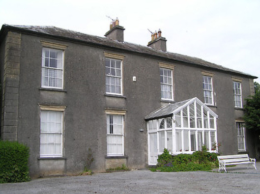 Gaile Househouse · 1.2 mi
 Ballytarsna Castle (in ruins)Castle, tower house · 1.4 mi
 Killough Hill (site of)Mountain / peak · 2.3 mi
 Ballyknock HillMountain / peak · 3.2 mi
 Rock of CashelHeritage attraction · 4.4 mi
 Cormac's ChapelHeritage attraction · 4.4 mi
 The Rock Of CashelVisitor information · 4.4 mi
 Black mulberryBlack mulberry · 4.5 mi
Other information
Photo: Credit not shown in the picture search · Rights wording not checked; contact us if this picture should be removed