What is recorded here
Situated in marshy pasture, at the N end of a narrow valley, at the base of the E-facing slope of a ridge. Raised rectangular area (27.6m E-W; 23.8m N-S) defined by a scarp (H 1.3m). At the foot of the scarp is a well defined fosse (Wth 4m; D 0.3-0.6m) which has been incorporated into a modern N-S drain on the W side. At the outer lip of the fosse on the N and S sides are the remnants of an outer bank (Wth c. 5m). In the centre of the E side is a causeway across the fosse (Wth 4.6m) which links the site to a small hillock which overlooks the site. Immediately inside the entrance is a shallow hollow (max. dim. c. 4m; D 0.3m) of uncertain significance.
Compiled by: Patrick F. O'Donovan
Date of upload: 19 January 2011
The monument record does not grant public access. Check the route and ask the landowner before entering private land.
- What survives
- Recorded monument
Places near here
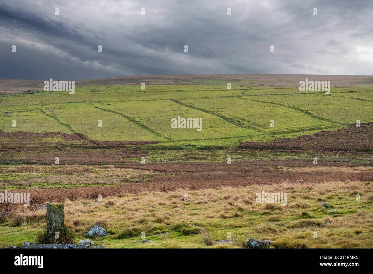 Field system in AltanelvickField system · 96 yd
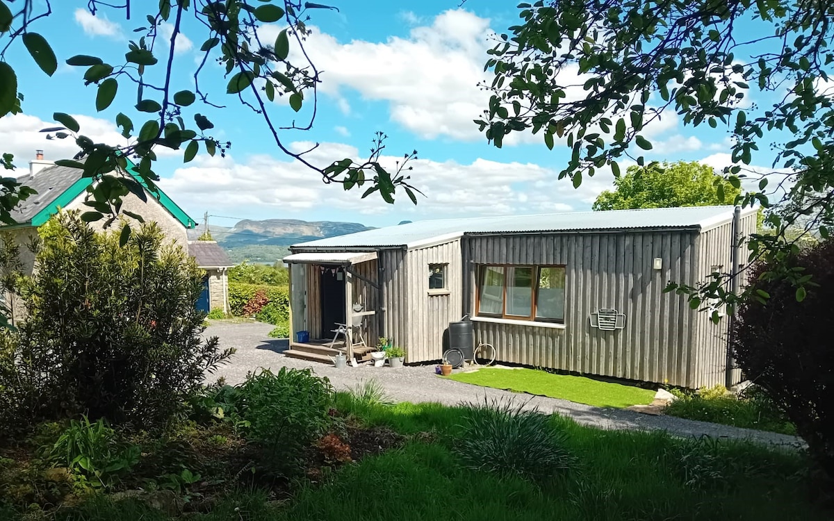 Enclosure in AltanelvickEnclosure · 138 yd
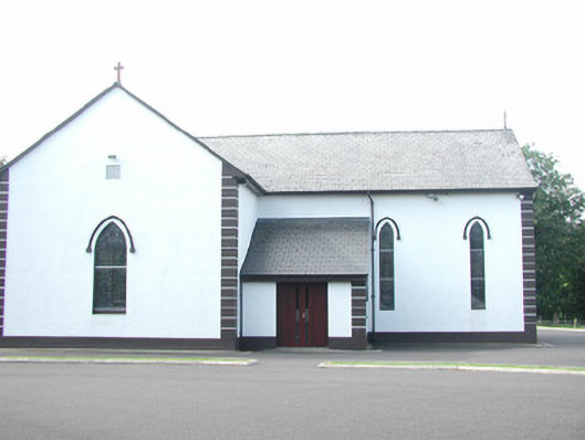 Catholic Church of Saint Peter and Saint Paulchurch/chapel · 919 yd
 Religious houseReligious house, unclassified · 1040 yd
 European ashEuropean ash · 1118 yd
 Bawn in Longford DemesneBawn · 1731 yd
 Pigeonpark WoodForest · 1.0 mi
 Giant's GraveArchaeological place · 1.3 mi
 Bawn in Tanrego WestBawn · 1.7 mi
 Lahanacappul IslandIslet · 2.1 mi
 DoomoreMountain / peak · 2.2 mi
 Derinch PointHeadland · 2.2 mi