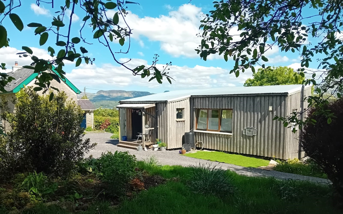
What is recorded here
Situated on a level terrace on an E-facing slope. Not marked on any edition of the OS 6-inch map. Rectangular enclosure identified from aerial photograph (ACP V203/148-9, Roll 125, Prs. 19-20). It was levelled in the 1960's. However its outline, defined at N, E and S by a scarp (H 0.6m) and at W by a low rise, may still be traced.
Compiled by: Patrick F. O'Donovan
Date of upload: 19 January 2011
The monument record does not grant public access. Check the route and ask the landowner before entering private land.
- What survives
- Recorded monument
Places near here
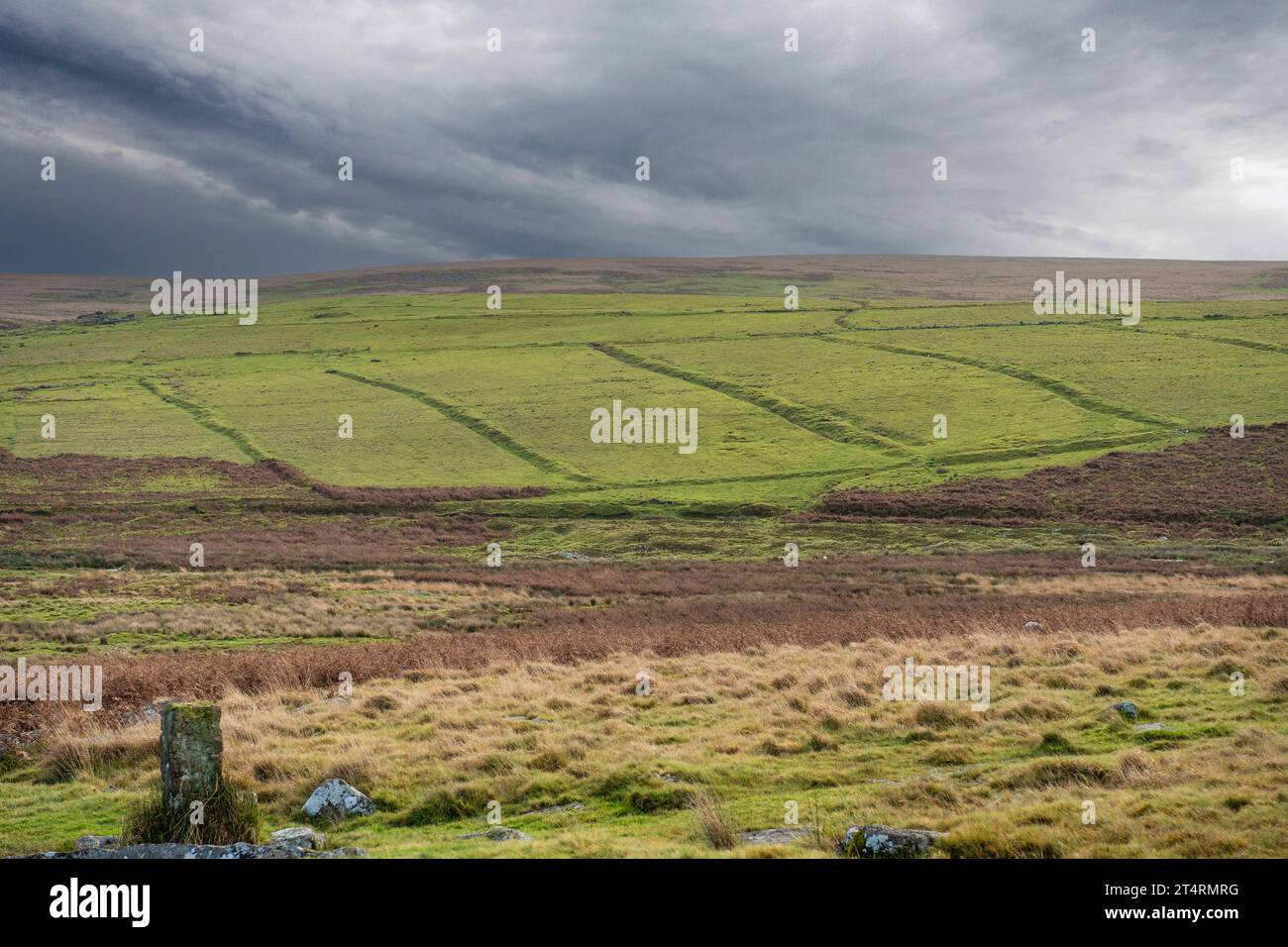 Field system in AltanelvickField system · 93 yd
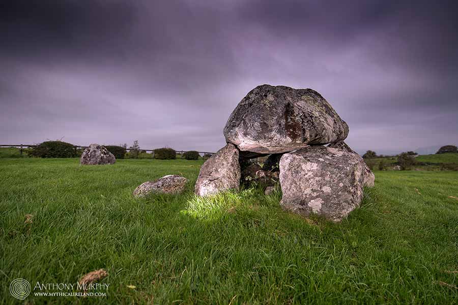 LisdooFairy fort / earthen ringfort · 335 yd
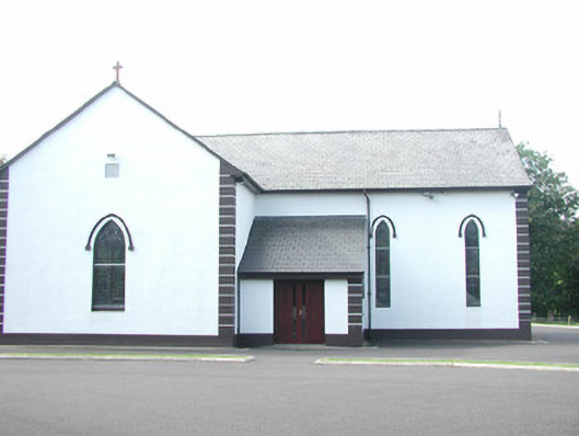 Catholic Church of Saint Peter and Saint Paulchurch/chapel · 877 yd
 Religious houseReligious house, unclassified · 926 yd
 European ashEuropean ash · 993 yd
 Bawn in Longford DemesneBawn · 1651 yd
 Pigeonpark WoodForest · 1699 yd
 Giant's GraveArchaeological place · 1.4 mi
 Bawn in Tanrego WestBawn · 1.7 mi
 Lahanacappul IslandIslet · 2.2 mi
 DoomoreMountain / peak · 2.2 mi
 Derinch PointHeadland · 2.3 mi
Other information
Photo: Credit not shown in the picture search · Rights wording not checked; contact us if this picture should be removed