
What is recorded here
Williamstown moat stood on a west-facing slope above a small stream, its grassy top measuring seventeen by fifteen metres and rising two to three metres above the scarped base. Quarrying cut through the northern and southern edges before the earthwork vanished entirely by 1986. The loss reminds us that even modest castle mounds can disappear when stone or soil becomes more valuable than memory.
Located towards the bottom of a W-facing slope with the headwaters of a small S-N stream c. 150m to the W. This was described in 1968 (SMR file) as a raised, subcircular and grass-covered area with trees (dims of top 17m N-S; 15m E-W; dim of base 32m N-S; H 1.7m at N to 2.3m at S) defined by scarps with traces of a fosse (Wth of top 6m; ext. D 0.2m) at N. There was a fairly modern quarry in the defining scarp at N and another grass-covered rectangular one on the scarp at S. There was no visible entrance. It had been removed by 1986.
The above description is derived from the published 'Archaeological Inventory of County Meath' (Dublin: Stationery Office, 1987). In certain instances the entries have been revised and updated in the light of recent research.
Compiled by: Michael Moore
Date of upload: 10 July 2007
Amended: 2 August 2022
The monument record does not grant public access. Check the route and ask the landowner before entering private land.
- What survives
- Recorded monument
Places near here
 Fox CovertWood · 342 yd
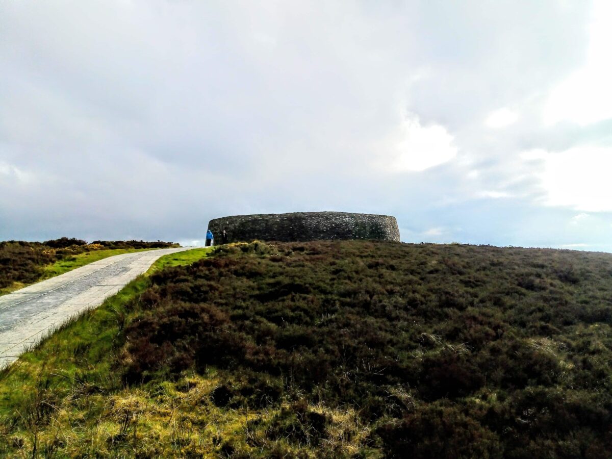 Rahards FortArchaeological place · 557 yd
 Peters ChurchChurch · 756 yd
 Castletown TrailMemorial · 801 yd
 Castletown FortCastle, motte and bailey · 1380 yd
 Enclosure in ClooneyEnclosure · 1569 yd
 Little Decoy WoodWood · 1.3 mi
 Drakerath CastleCastle, unclassified · 1.6 mi
 HeadstownMountain / peak · 1.7 mi
 Ugly HillMountain / peak · 2.6 mi
 Nobber GreenwayMemorial · 3.4 mi
 Owenroe and Moynalty DrainageMemorial · 3.5 mi
Other information
Photo: Credit not shown in the picture search · Rights wording not checked; contact us if this picture should be removed