What is recorded here
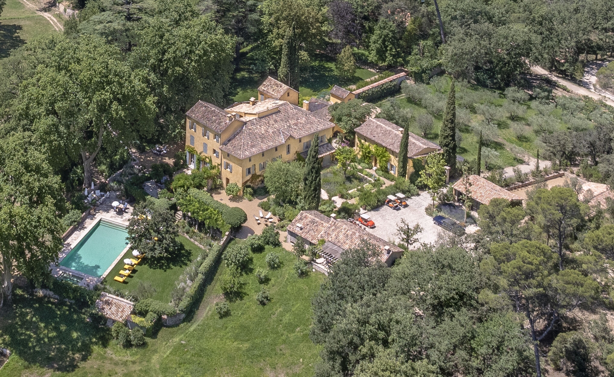
Situated on a fairly level landscape with a pond or quarry c. 110m to the W. The cropmark of a circular area (diam. c. 25m) defined by a single fosse feature is visible on Google Earth (29/06/2018). Another enclosure (ME011-052002-) is c. 40m to the SW, and both could be landscape features. It was first reported by Anthony Murphy.
See the attached view (top) from Google Earth (29/06/2018)
Compiled by: Michael Moore
Date of upload: 11 June 2019
The monument record does not grant public access. Check the route and ask the landowner before entering private land.
- What survives
- Recorded monument
Places near here
 Peters ChurchChurch · 826 yd
 Enclosure in RaffinEnclosure · 1143 yd
 Raffin FortArchaeological place · 1149 yd
 MoatCastle, motte · 1569 yd
 Castletown FortCastle, motte and bailey · 1726 yd
 Fox CovertWood · 1.1 mi
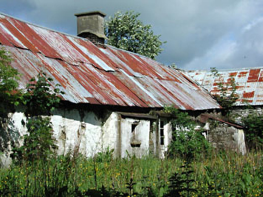 farm housefarm house · 1.2 mi
 Headstown ForestForest · 1.3 mi
 HeadstownMountain / peak · 1.4 mi
 Ugly HillMountain / peak · 2.4 mi
 Owenroe and Moynalty DrainageMemorial · 2.7 mi
 Nobber GreenwayMemorial · 2.8 mi
Other information
Photo: Credit not shown in the picture search · Rights wording not checked; contact us if this picture should be removed