What is recorded here
In generally level pasture with surface undulations due to limestone outcropping. Small oval mound (dims. 9.1m N-S; 12.7m E-W) defined by gradually sloping sides (Wth 3.0m; H 1.3m-1.4m) rising to a generally level area (dims. 4m N-S; 2.2m E-W). Off centre to N is a small mound (dims. 1.8m N-S; 2m E-W; H 0.5m) of earth and stone. Badly eroded by cattle. Named 'The Moat' on latest edition OS 6-inch map. According to Cahill (1982), unlikely to be medieval due to small scale and more synonymous with a prehistoric burial mound. Ringfort/rath (TS069-010----) is 350m to NNE.
Compiled by: Jean Farrelly
Date of upload: 26 August 2011
The monument record does not grant public access. Check the route and ask the landowner before entering private land.
- What survives
- Recorded monument
Places near here
 Church (in ruins)Church · 70 yd
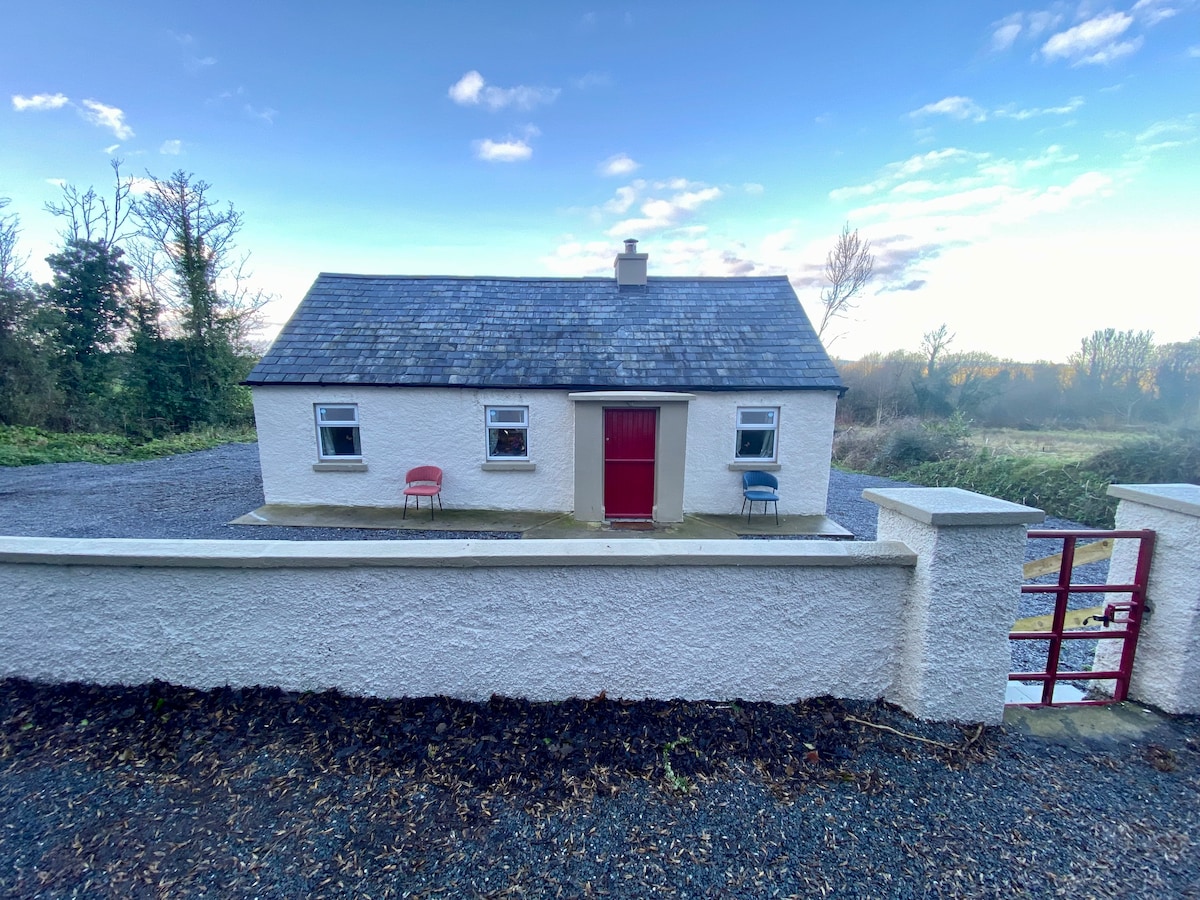 Enclosure in Garryandrew NorthEnclosure · 447 yd
 Castle (Site of)Castle, unclassified · 819 yd
 Enclosure in RosegreenEnclosure · 934 yd
 CastleCastle, ringwork and bailey · 1204 yd
 Commons Cottagehouse · 1.3 mi
 Cashel Folk MusuemMuseum · 4.0 mi
 Black mulberryBlack mulberry · 4.0 mi
 The Rock Of CashelVisitor information · 4.1 mi
 Cormac's ChapelHeritage attraction · 4.2 mi
 Ballyknock HillMountain / peak · 4.6 mi
 Pedunculate OakPedunculate Oak · 5.6 mi