What is recorded here
Situated on a gentle SW-facing slope, this feature is described as a ‘Moat’ on the 1836 and 1908 editions of the OS 6-inch map. This is a subcircular grass-covered mound (diam. of base 24m NE-SW; diam. of top 11.5m N-S; 11.3m E-W; ext. H 1.2m at NE to 1.8m at SW), with a slight outer bank (Wth c. 2m; H 0.2m) at NE. A magnetic gradiometer survey (19R0268) in the field to the SE produced no evidence of archaeological features except for two possible fosses outside the barrow at E (Elliott 2019). Archaeological testing (20E0014) by P. D. Sweetman (2020) in an area (dims c. 80m NW-SE; c. 80m NE-SW) immediately S of the monument failed to produce any related material.
The above description is derived from the published 'Archaeological Inventory of County Meath' (Dublin: Stationery Office, 1987). In certain instances the entries have been revised and updated in the light of recent research.
Date of upload: 10 July 2007
Revised: 26 October 2021
The monument record does not grant public access. Check the route and ask the landowner before entering private land.
- What survives
- Recorded monument
Places near here
 Site of Old CastleCastle, unclassified · 1251 yd
 CastleCastle, motte · 1536 yd
 Font in RathbegganFont · 1567 yd
 EnclosureEnclosure, large enclosure · 1.3 mi
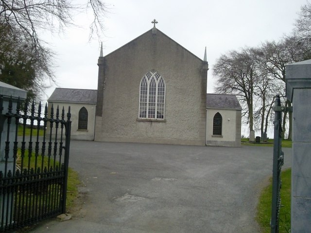 Catholic Church of the Assumptionchurch/chapel · 1.8 mi
 Lismahon 1798 MemorialMonument · 1.9 mi
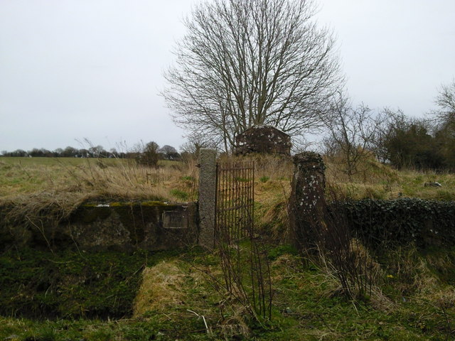 RuinChurch · 1.9 mi
 Caulstown Christmas Tree FarmForest · 2.7 mi
 Hanwood GardensHeritage attraction · 2.9 mi
 Ash HillMountain / peak · 3.3 mi
 Saint Oliver Plunkett 1625-1681Memorial · 3.5 mi
 Wesley's WoodsWood · 4.0 mi